
Iran Map
In stock
$5.00
item details (8 Editable Slides)
- Applications Supported: PowerPoint, Google Slides
- File Type: .pptx, Google Slides
- Aspect Ratio:16:9 (Wide Screen)
- Animation: No
Iran Map
Iran Map
(8 Editable Slides)

Related Products
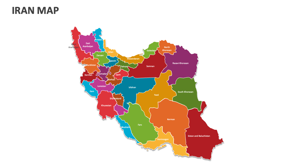
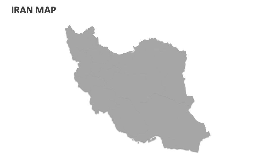
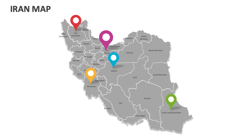
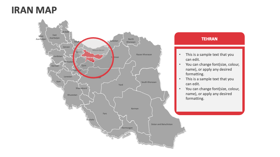
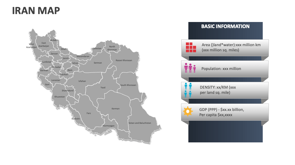
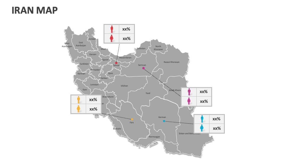
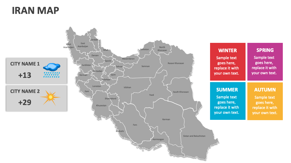
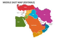
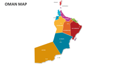
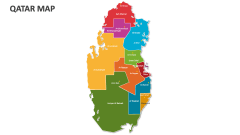
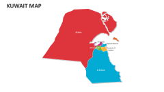
Lay your hands on our Iran Map MS PowerPoint and Google Slides presentation template to highlight natural landmarks, economic growth/inflation rates, prominent industries, agricultural zones, historical boundaries and territorial changes, seasonal temperature variations, and more in Iran.
Industry experts can explain Iran's economic development zones, trade routes, and major economic hubs. Tour and travel agents can present information about this country’s famous landmarks, significant monuments, and UNESCO World Heritage sites. Government officials can explain Iran's electoral regions, disputed territories, areas with administrative offices, etc. Educators can include these slides in their presentations to explain Iran’s geopolitical dynamics and strategic significance in the Middle East.