
Slovakia Map
In stock
$5.00
item details (10 Editable Slides)
- Applications Supported: PowerPoint, Google Slides
- File Type: .pptx, Google Slides
- Aspect Ratio:16:9 (Wide Screen)
- Animation: No
Slovakia Map
Slovakia Map
(10 Editable Slides)


Related Products
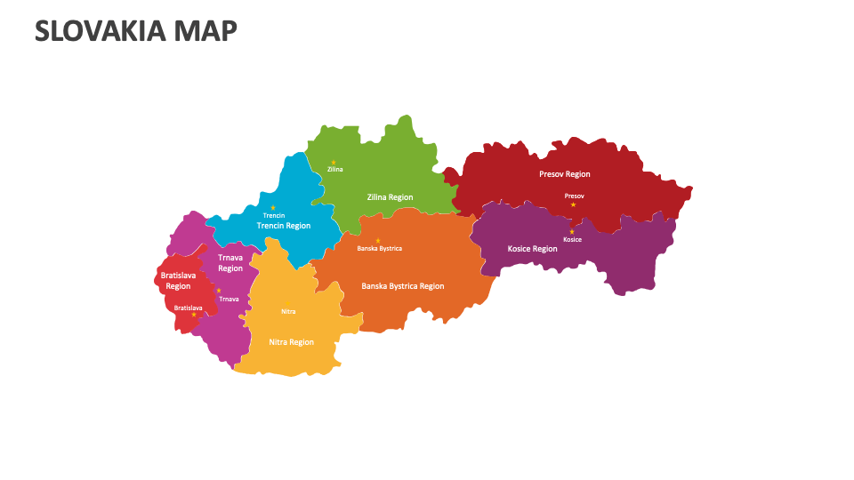
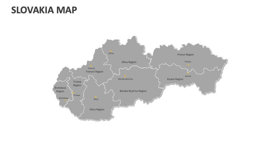
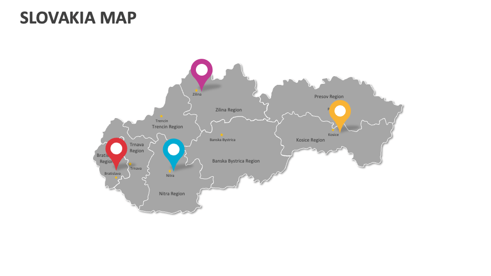
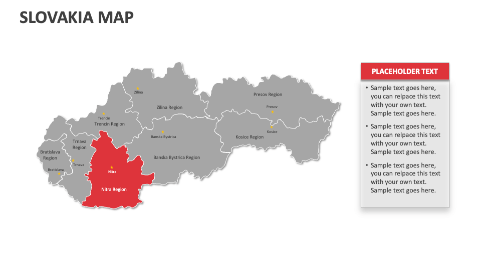
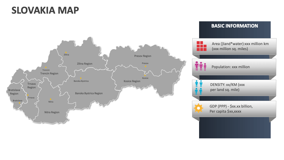
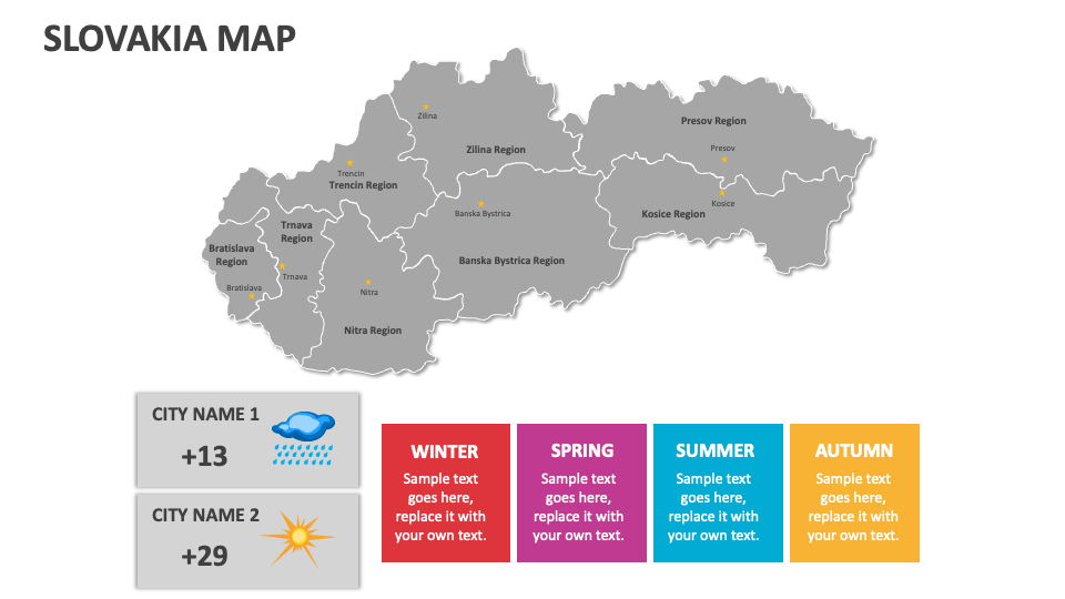
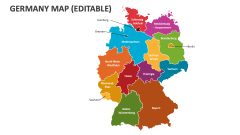
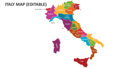
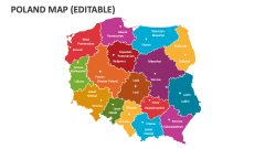
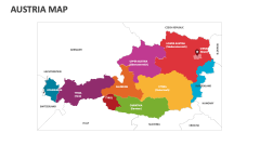
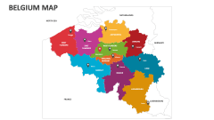
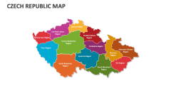
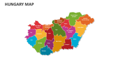
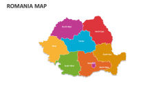
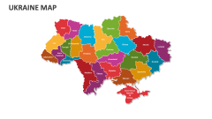
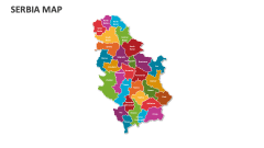
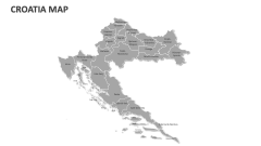
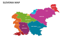
Make the most of our Slovakia Map MS PowerPoint and Google Slides presentation template to showcase production centers for the textile and apparel industry, mining regions, distribution of energy infrastructure, the highest and least populated regions, UNESCO World Heritage Sites, and more in Slovakia.
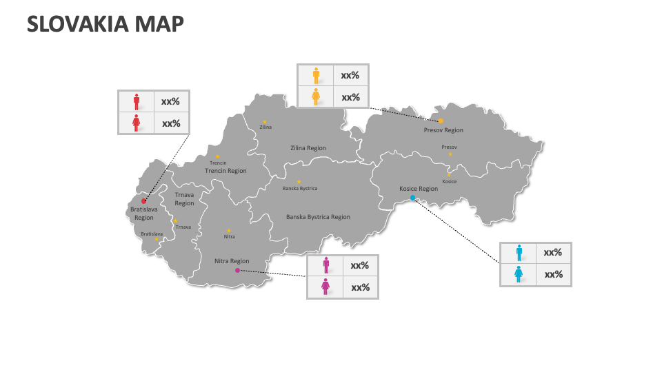
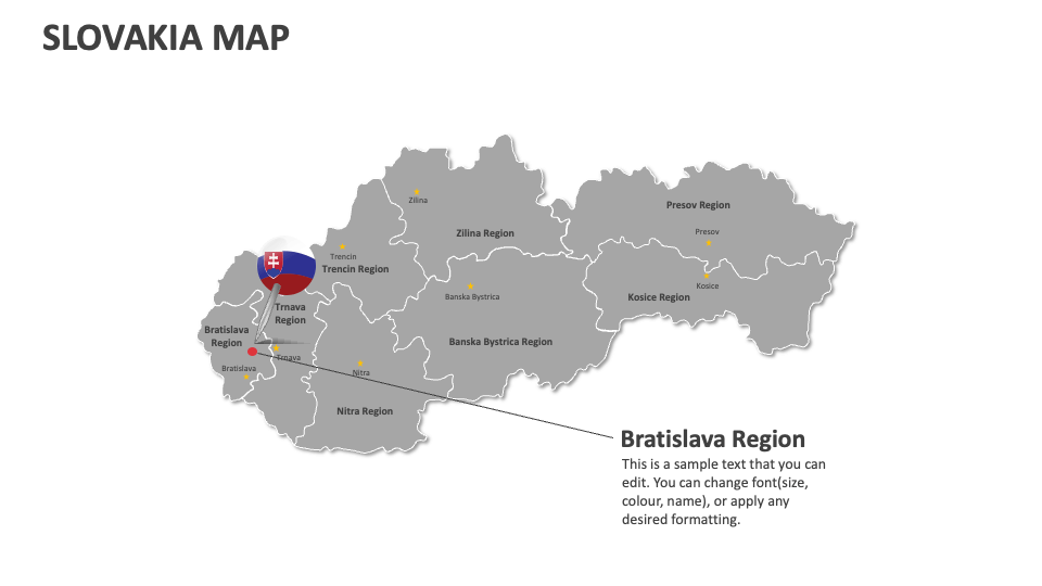
Business leaders and sales heads can highlight areas with higher customer base, competitor locations, etc., in Slovakia. Educators can include these map illustrations in their presentations to illustrate significant political events that have shaped Slovakia's history, the regions of the country that have been impacted by EU membership, and more. You can visualize the location of famous castles, national parks, Tatra Mountains, and other sightseeing destinations in this landlocked sovereign nation.