
West Bengal Map
In stock
$5.00
item details (4 Editable Slides)
- Applications Supported: PowerPoint, Google Slides
- File Type: .pptx, Google Slides
- Aspect Ratio:16:9 (Wide Screen)
- Animation: No
West Bengal Map
West Bengal Map
(4 Editable Slides)
Related Products
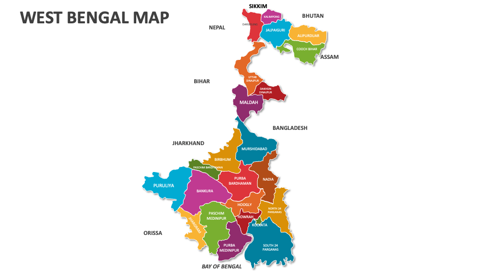
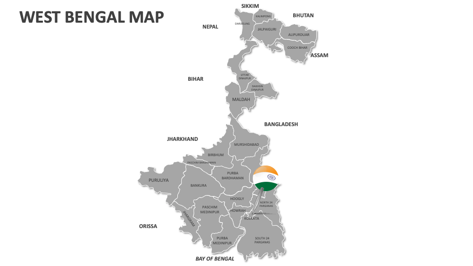
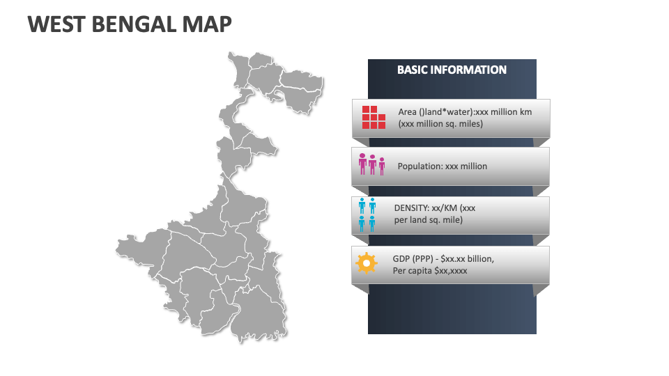
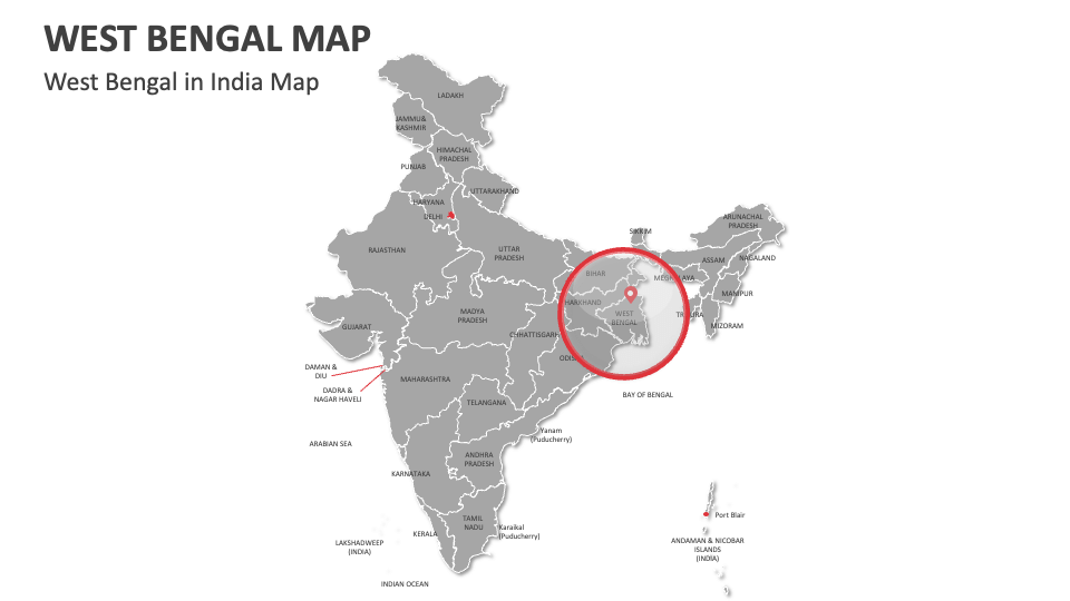
Lay your hands on our West Bengal Map MS PowerPoint and Google Slides presentation template to showcase the socio-economic issues, human migration patterns, major agricultural regions, popular tourist destinations, tea gardens/plantations, climatic conditions, etc., in West Bengal.
Sales and marketing heads can utilize this deck to illustrate the revenue generation from different locations, market conditions, sales territories, and more in West Bengal. Textile manufacturers can present the regions in the state known for specific crafts/textiles, like terracotta from Bishnupur and Kantha embroidery. Environmentalists can explain the ecological importance of the Sundarban mangrove forest, Himalayan foothills, etc. Government officials can highlight the electoral constituencies, voting patterns, and administrative districts in this Indian state.