
Alabama Map
In stock
$5.00
item details (3 Editable Slides)
- Applications Supported: PowerPoint, Google Slides
- File Type: .pptx, Google Slides
- Aspect Ratio:16:9 (Wide Screen)
- Animation: No
Alabama Map
Alabama Map
(3 Editable Slides)
Related Products
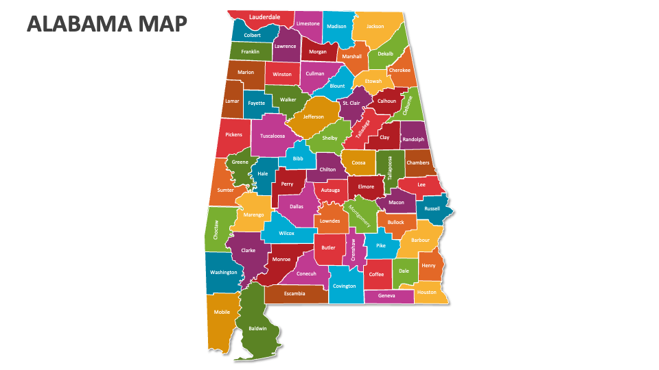
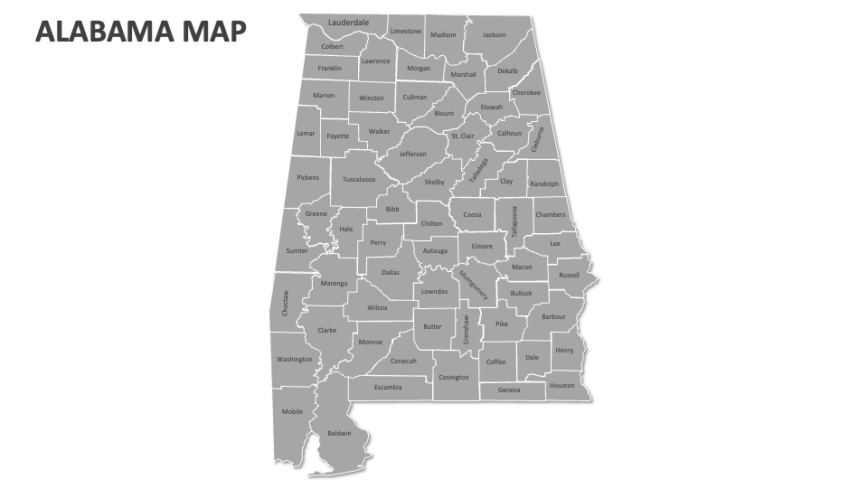
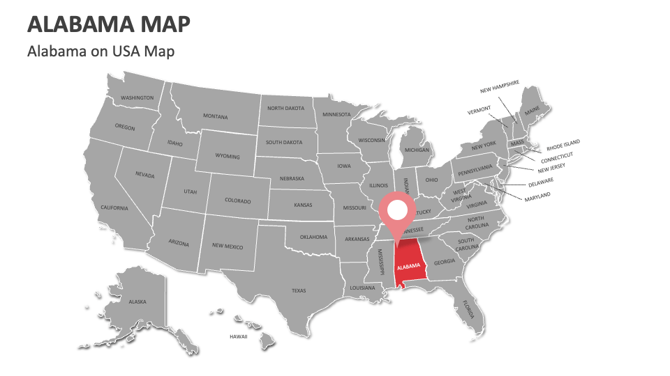
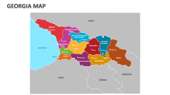
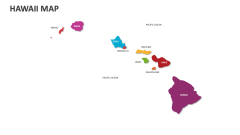
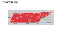
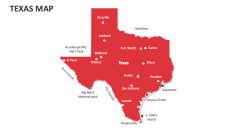
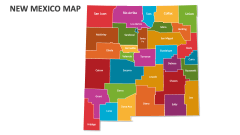
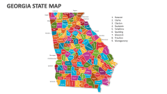
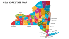
Lay your hands on our Alabama Map MS PowerPoint and Google Slides template to showcase total land area, geographic regions, significant sites/landmarks, key interstate highways, cultural diversity, and more in Alabama. The deck comprises professionally designed map illustrations to help you make your presentation visually engaging for the audience.
Business heads can use this set to visualize the locations of their business units, customer support centers, and more in Alabama. Meteorologists can illustrate the average temperature, weather, and rainfall patterns in various cities of this U.S. state. Travel agents can use this PPT to explain the significance of Lake Guntersville for fishing, boating, and bird watching. Educators can depict the locations of black belt agricultural regions and their importance in cotton production.