
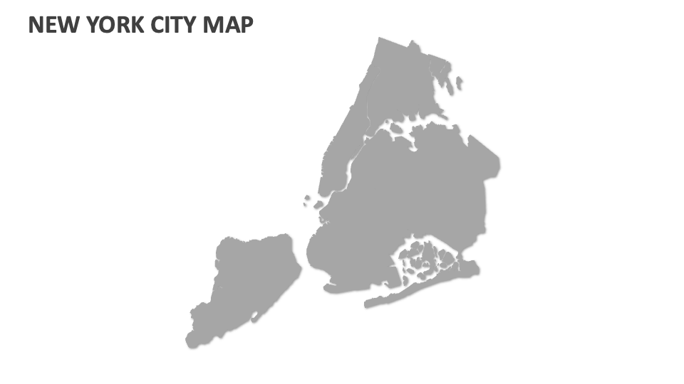
New York City Map
In stock
$5.00
item details (10 Editable Slides)
- Applications Supported: PowerPoint, Google Slides
- File Type: .pptx, Google Slides
- Aspect Ratio:16:9 (Wide Screen)
- Animation: No
New York City Map
New York City Map
(10 Editable Slides)
Related Products


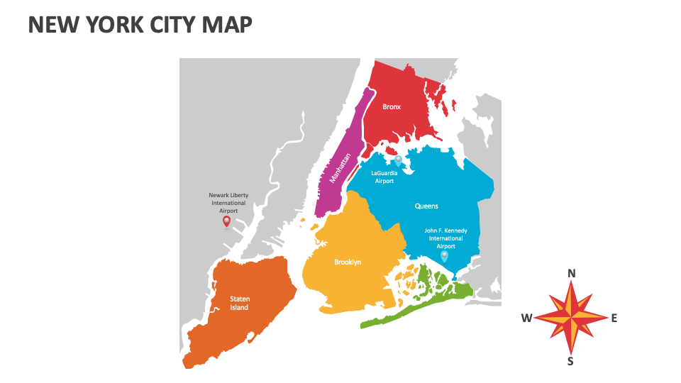
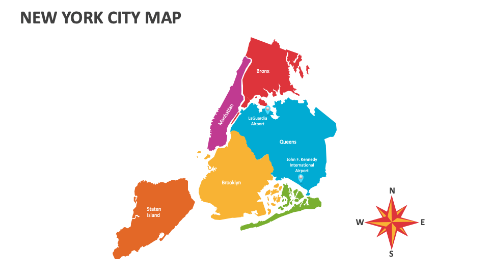
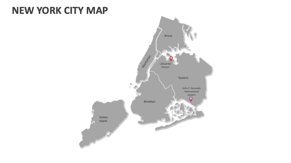
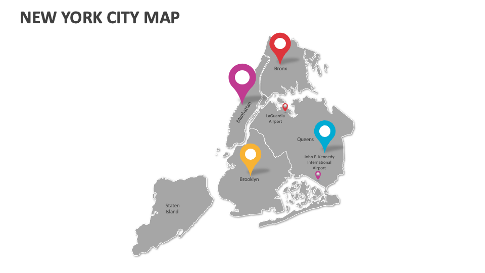
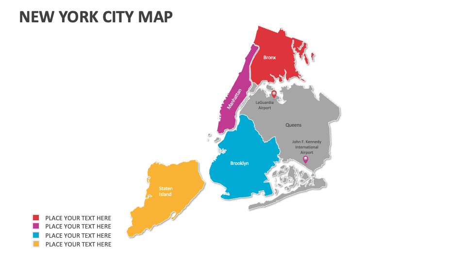
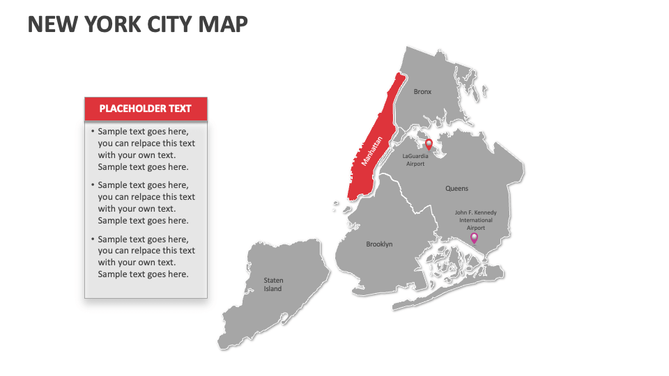
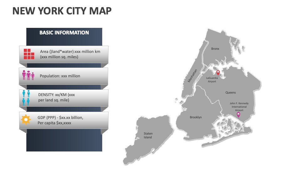
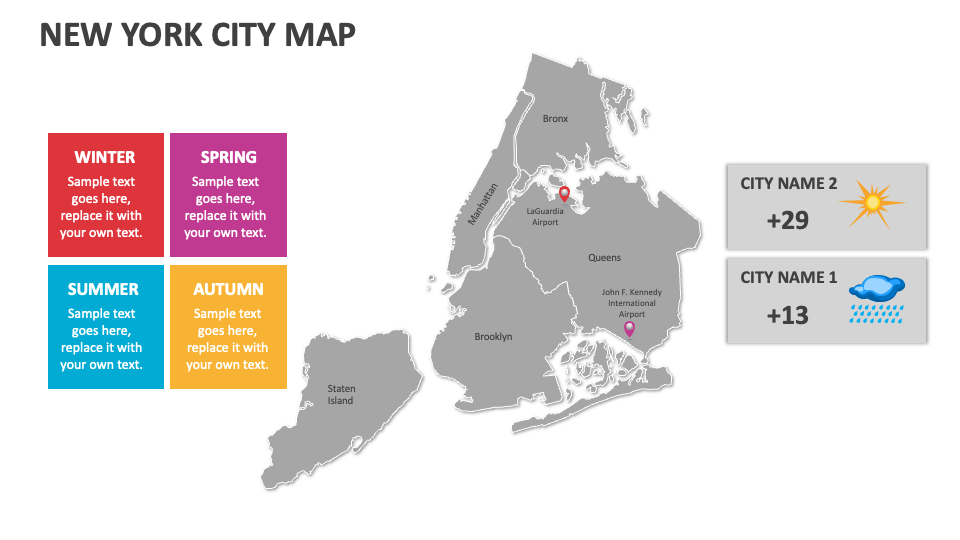
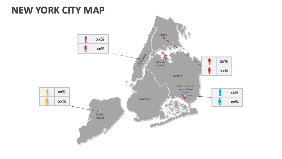
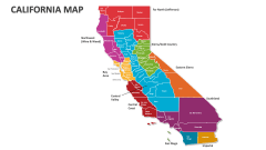
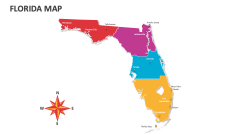
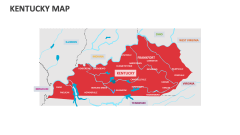
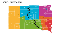
Our New York City Map presentation template is ideal for showcasing human migration patterns, historical boundaries, territorial changes, prominent industries, census data and region-wise population density, and more in New York City. Download this deck instantly, which is best suited for MS PowerPoint and Google Slides!
Sales and marketing experts can utilize this deck to depict the customer demand patterns, regions with high sales potential, etc., in New York City (NYC). Educators can include these map illustrations in their slides to present a brief overview of NYC’s public transportation system, along with its current efficiency and usage statistics. Healthcare professionals can visualize information about the distribution of healthcare infrastructure across this city, the prevalence of various diseases, and areas with the highest healthcare needs.