
Baltic States map
In stock
$5.00
item details (8 Editable Slides)
- Applications Supported: PowerPoint, Google Slides
- File Type: .pptx, Google Slides
- Aspect Ratio:16:9 (Wide Screen)
- Animation: No
Baltic States map
Baltic States map
(8 Editable Slides)

Related Products
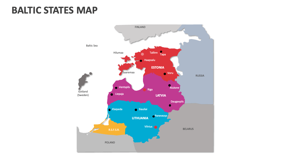
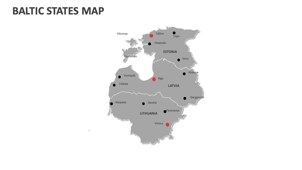
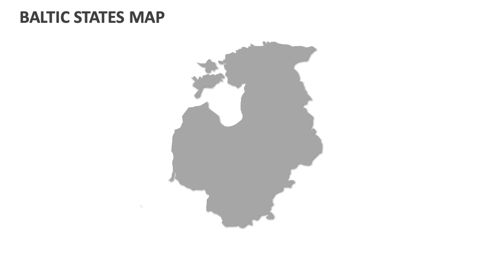
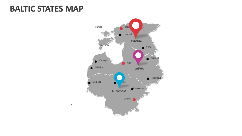
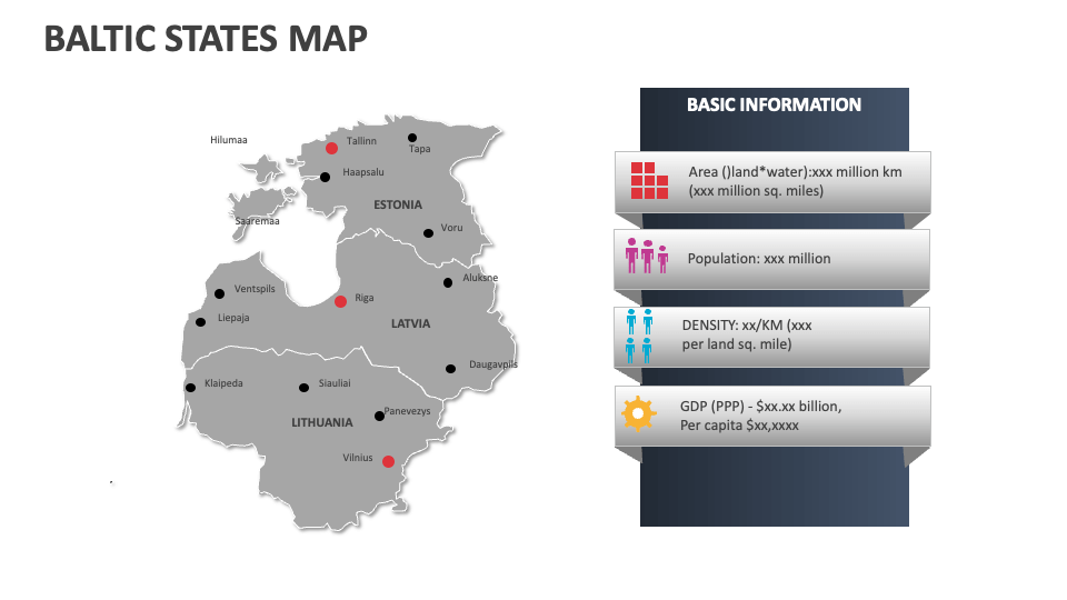
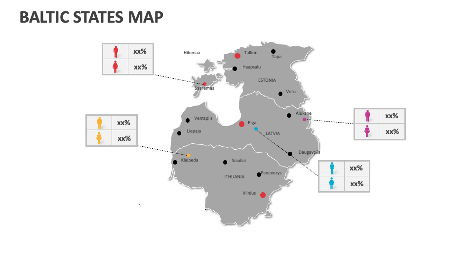
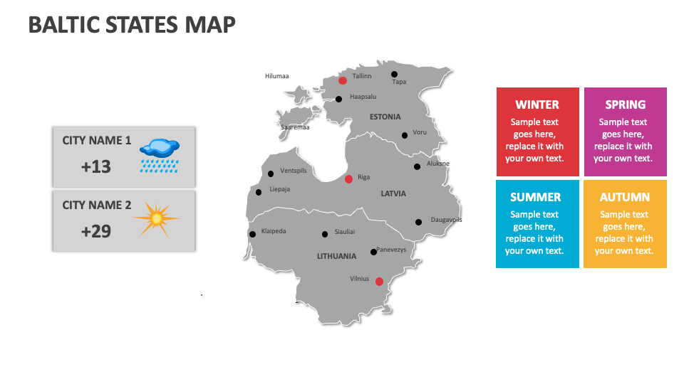
Our Baltic States Map MS PowerPoint and Google Slides presentation template is an ideal visual aid for presenters who wish to showcase information about the countries in Northern Europe on the eastern coast of the Baltic Sea, i.e., Estonia, Latvia, and Lithuania. The deck features eye-catching map illustrations of the Baltic States, with each country marked differently to help you differentiate them for the audience.
Business leaders can illustrate the steps and considerations for entering the Baltic markets, consumer demand trends, industry-specific trends and opportunities across the Baltic States, etc. You can capitalize on this set to highlight the key transportation hubs, ports, distribution networks, and supply chain infrastructure within the countries in the Baltic States. Educators can explain the strategic importance of the Baltic States as members of the North Atlantic Treaty Organization (NATO) and European Union (EU).