
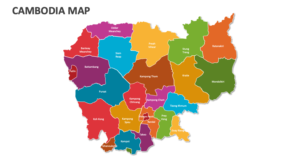
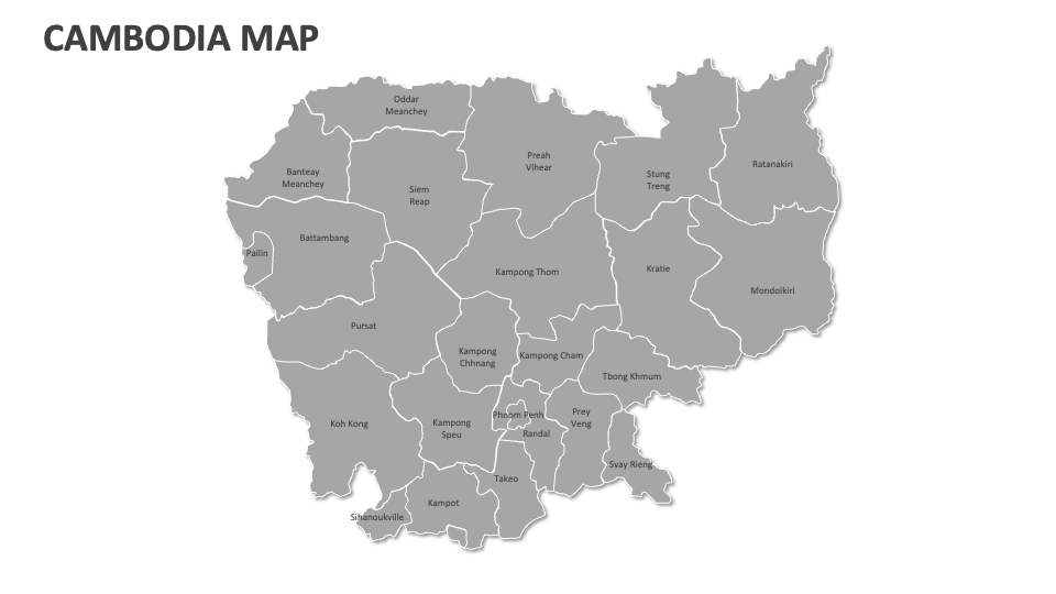
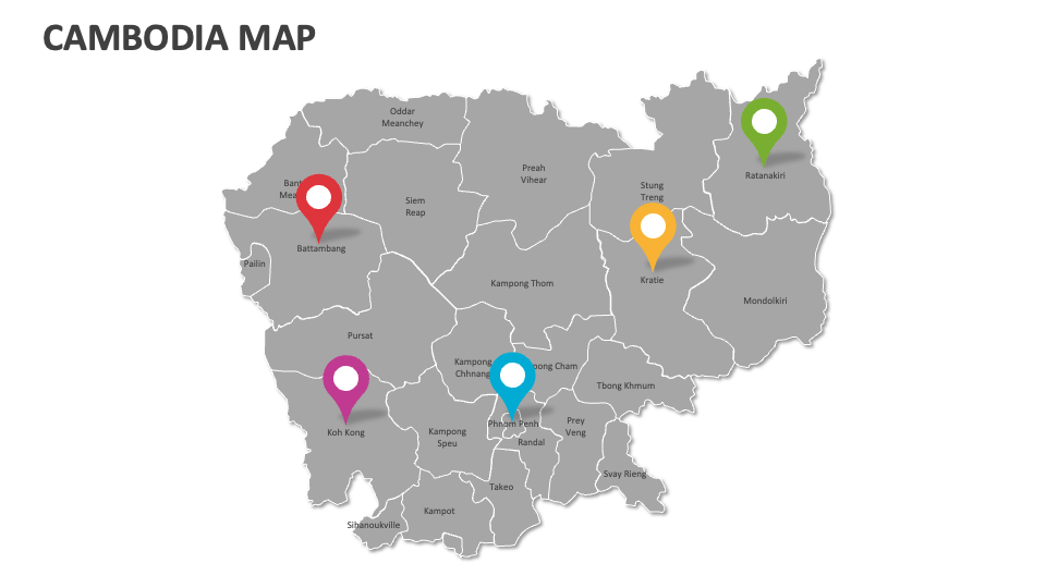
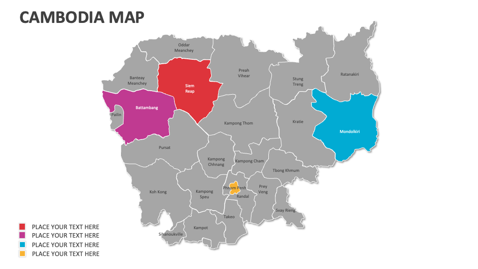
Cambodia Map
In stock
$5.00
item details (10 Editable Slides)
- Applications Supported: PowerPoint, Google Slides
- File Type: .pptx, Google Slides
- Aspect Ratio:16:9 (Wide Screen)
- Animation: No
Cambodia Map
Cambodia Map
(10 Editable Slides)


Related Products

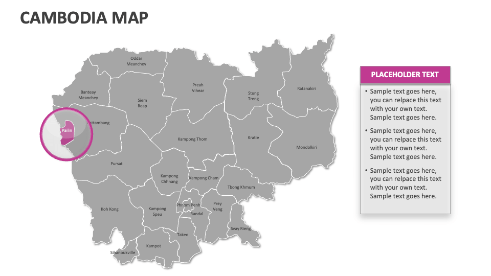
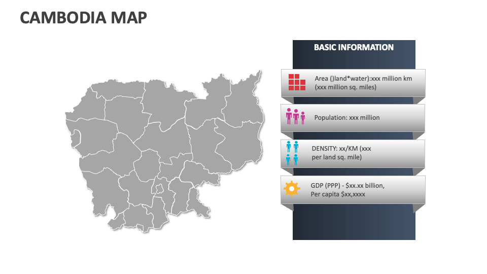
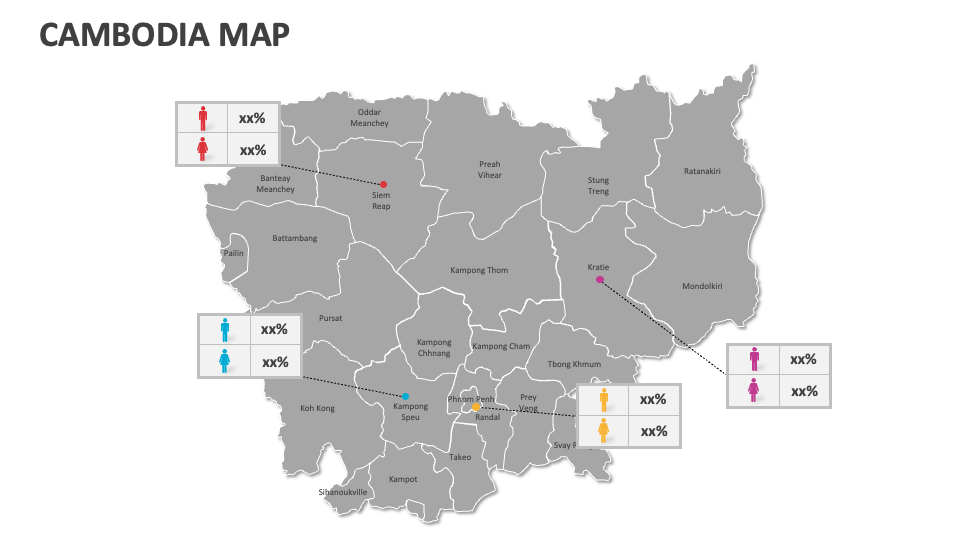
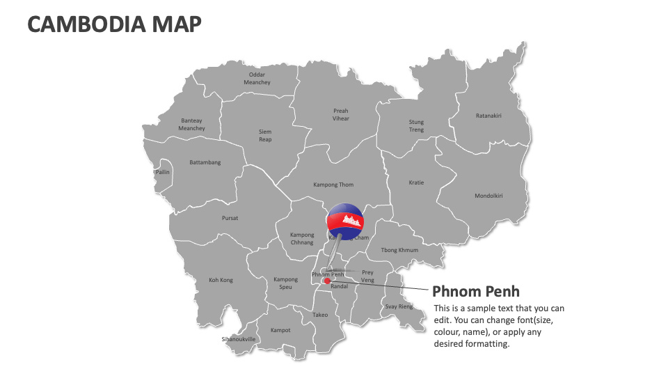
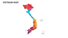
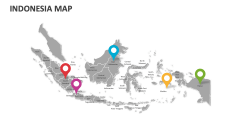
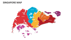
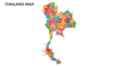
Get our Cambodia Map MS PowerPoint and Google Slides presentation template to depict Cambodia's historical boundaries and territorial changes, human migration patterns, and more. Showcase major cities, districts, agricultural zones, and metropolitan areas of this country with the help of these attention-grabbing map illustrations.
Business leaders can present economic development incentives offered by different regions, business expansion and investment opportunities, and more. Educators can use this deck to visualize the local governance structure and administrative divisions in this Southeast Asian country. You can shed light on the transportation network and facilities that connect this nation's significant highways, railways, airports, and cities.