
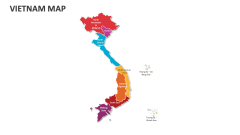
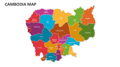
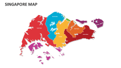
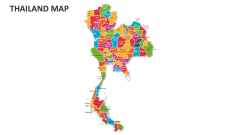
Indonesia Map
In stock
$5.00
item details (8 Editable Slides)
- Applications Supported: PowerPoint, Google Slides
- File Type: .pptx, Google Slides
- Aspect Ratio:16:9 (Wide Screen)
- Animation: No
Indonesia Map
Indonesia Map
(8 Editable Slides)
Related Products

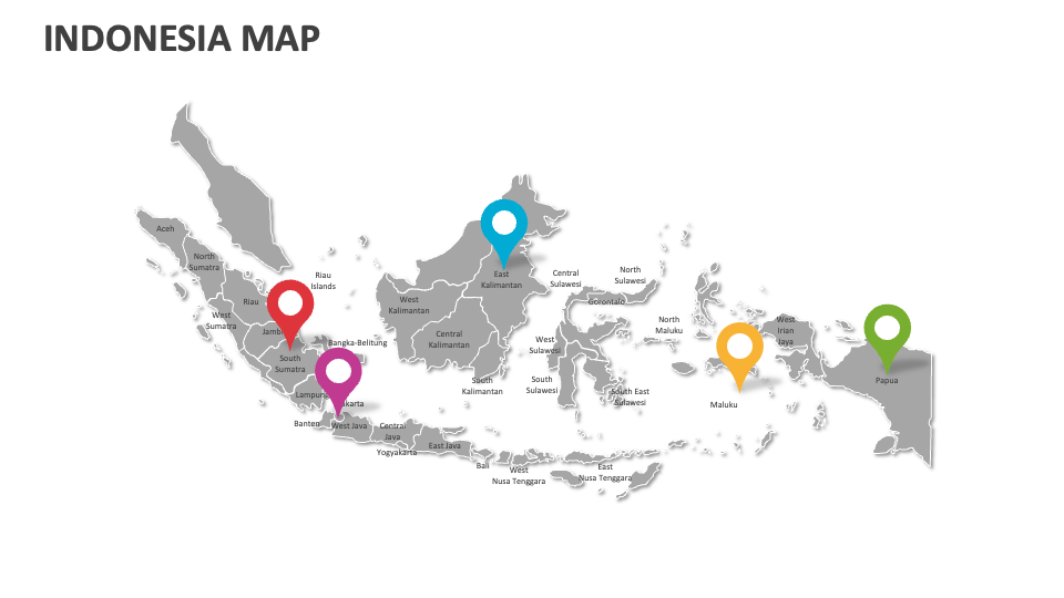
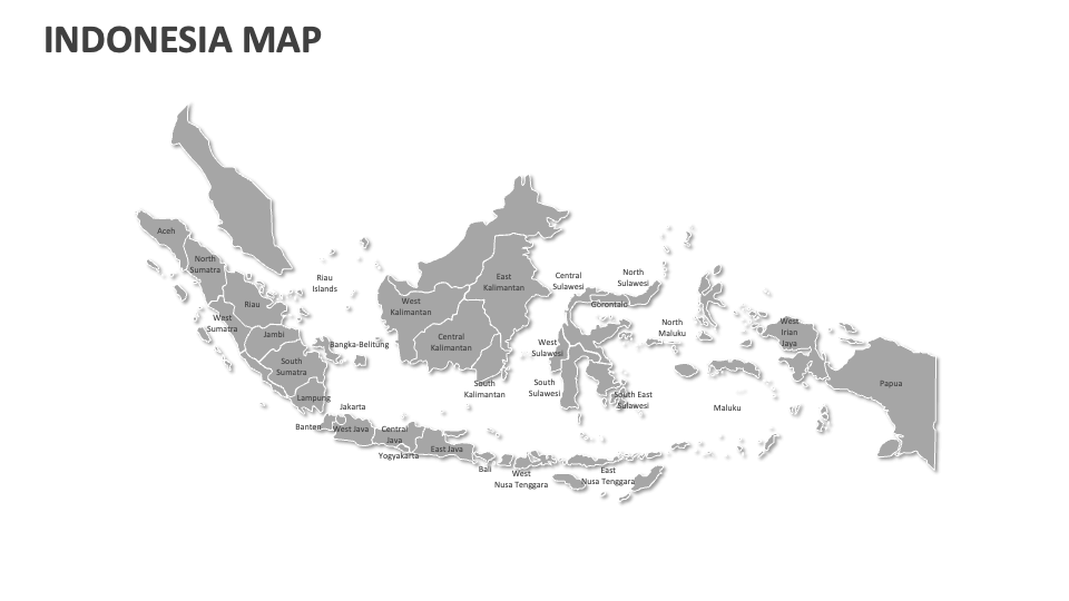
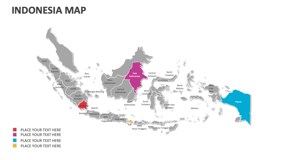
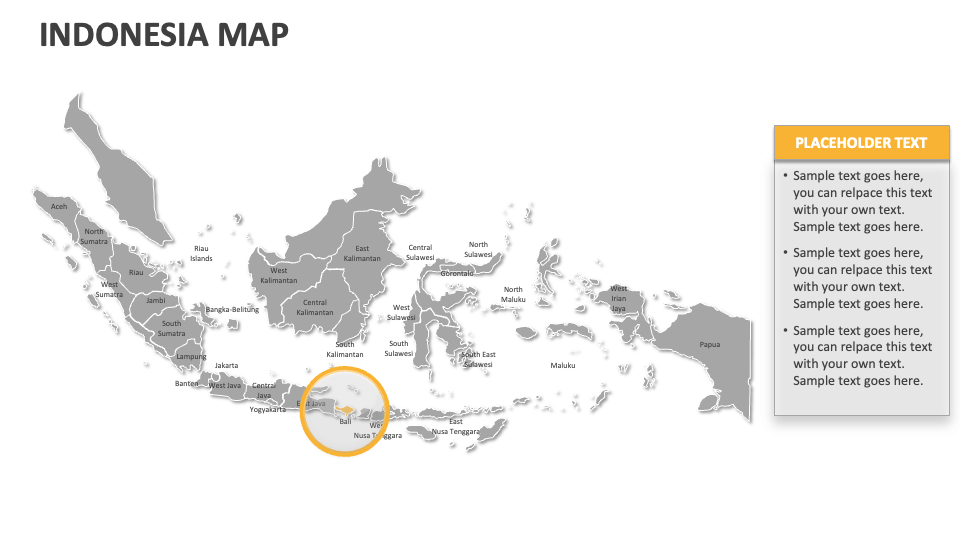
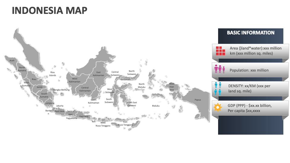
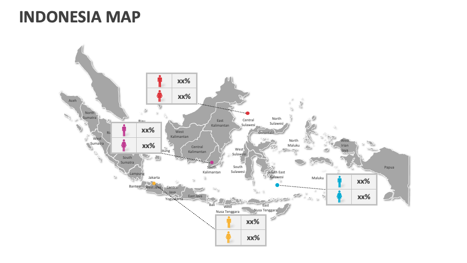
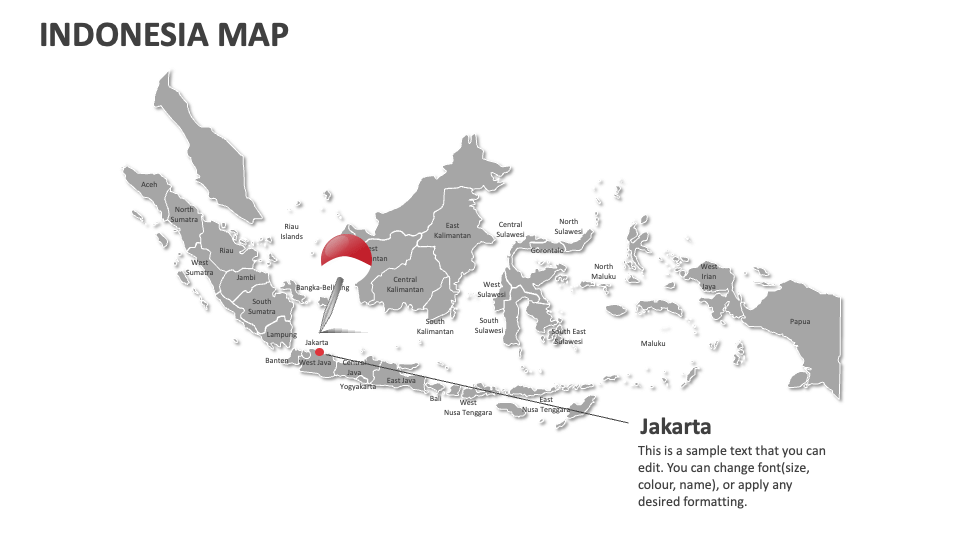
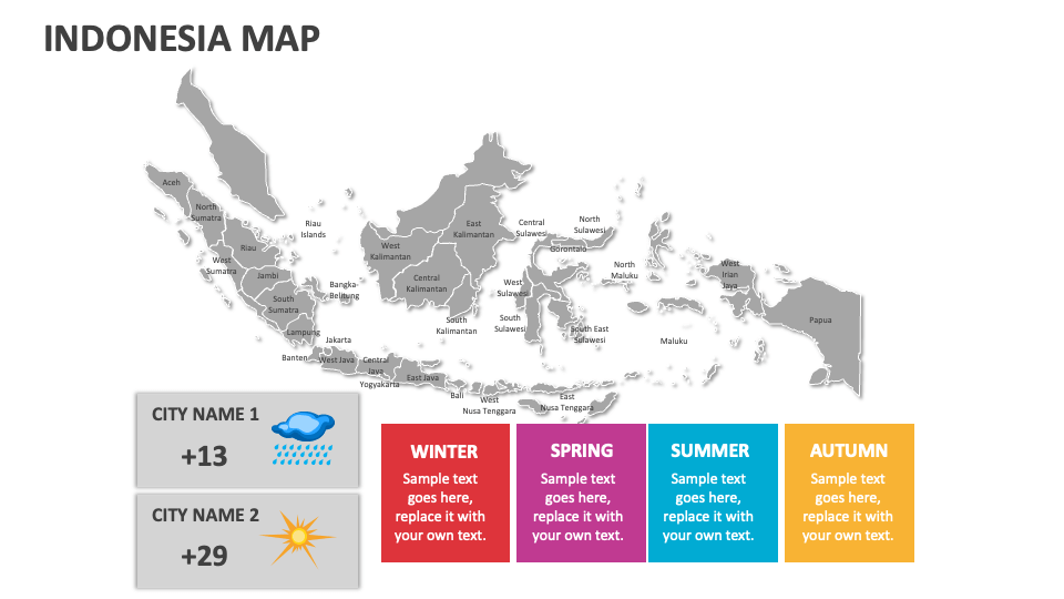
If you wish to depict Indonesia's highest and least populated areas, significant geographical features, agricultural and economic zones, and more in a visually impactful manner, download our Indonesia Map MS PowerPoint and Google Slides presentation template. The set includes various types of maps of this country that you can easily edit without any prior technical experience.
Business leaders can highlight the locations with high sales potential and existing market presence and the trade regulations, legal laws, and policies required for expanding or conducting business in Indonesia. Real estate trends can illustrate the urban development projects, real estate trends, zoning policies and regulations, and more in various regions of this country. Telecommunication experts can provide insights into the distribution of internet service providers, networks, operators, and coverage areas across different Indonesian regions.