
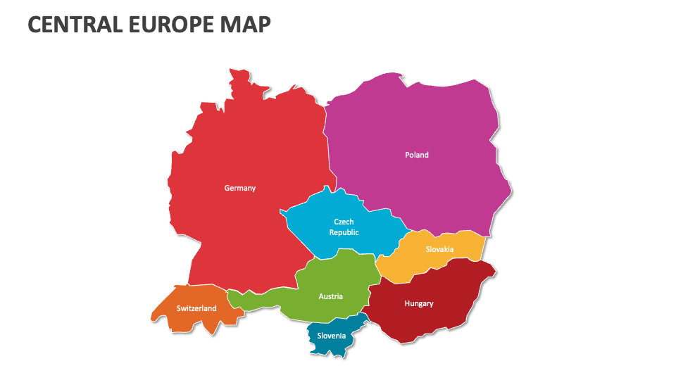
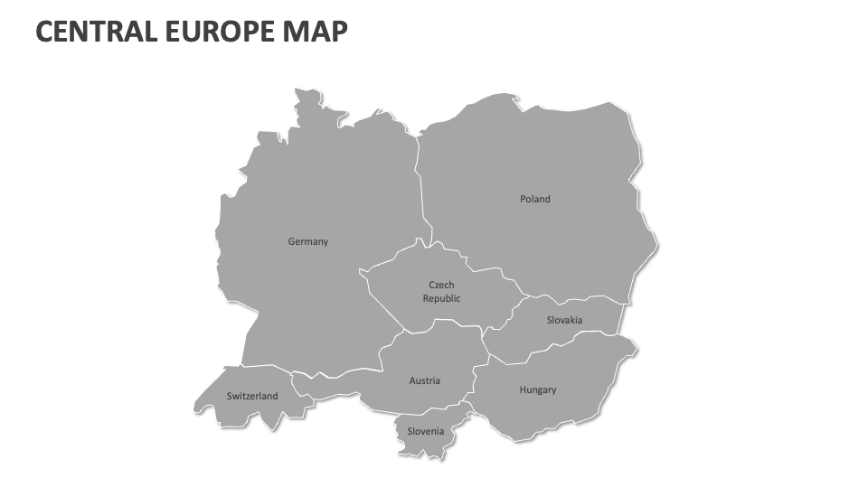
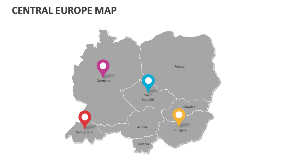
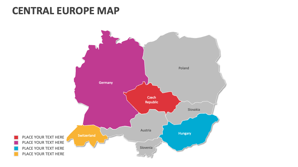
Central Europe map
In stock
$5.00
item details (8 Editable Slides)
- Applications Supported: PowerPoint, Google Slides
- File Type: .pptx, Google Slides
- Aspect Ratio:16:9 (Wide Screen)
- Animation: No
Central Europe map
Central Europe map
(8 Editable Slides)
Related Products
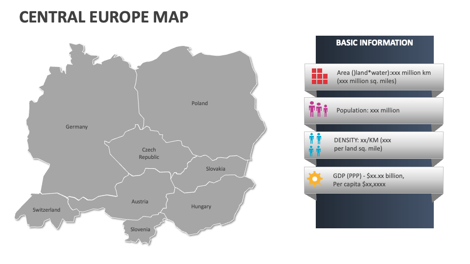
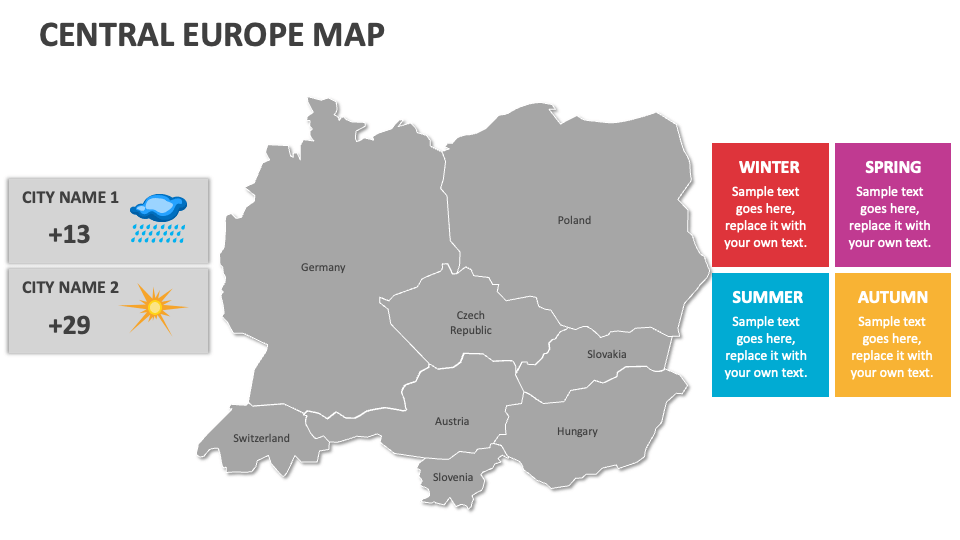
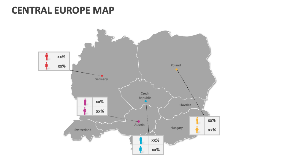
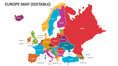
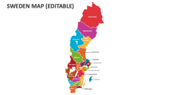
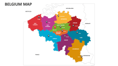
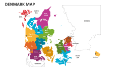
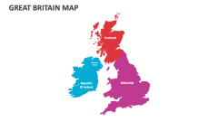
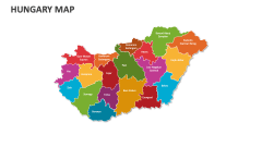
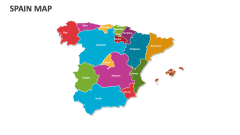
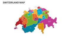
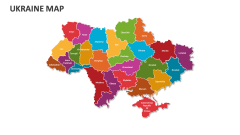
Make the most of our Central Europe Map MS PowerPoint and Google Slides presentation template to showcase the distribution of heritage sites and museums, locations of hospitals and medical facilities, land use patterns and zoning regulations, etc., across Central European countries.
Business heads can use this deck to highlight their market presence and competitor locations. Project heads can visualize resource allocation and raw material availability for specific projects across regions of Central Europe. Educators and environmentalists can illustrate information about biodiversity hotspots and conservation areas. Tour and travel experts can present detailed information on tour packages for famous tourist attractions in Central European countries, the best times to visit, and what makes each destination unique.