
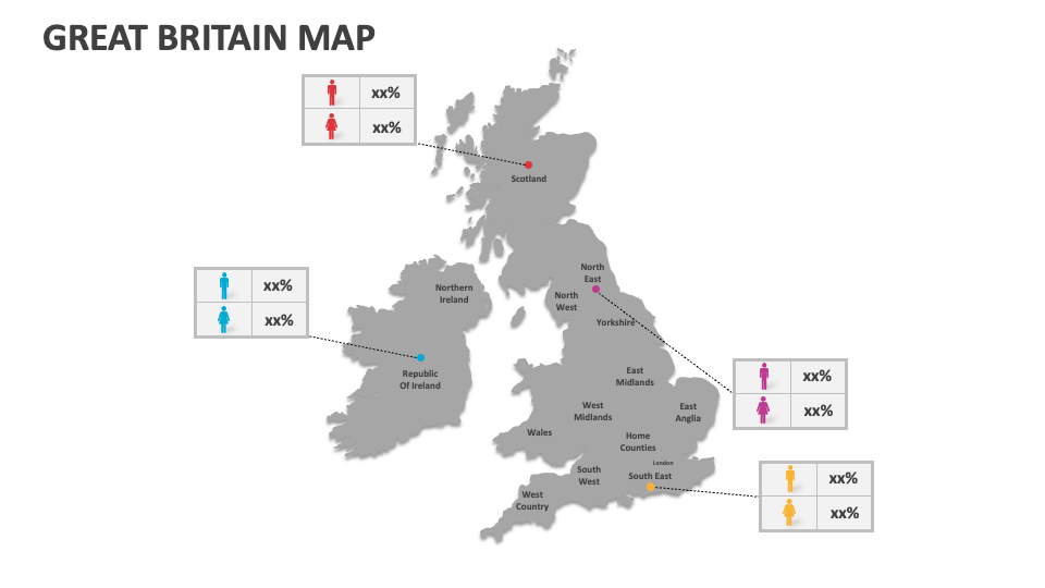
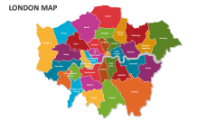
Great Britain Map
In stock
$5.00
item details (15 Editable Slides)
- Applications Supported: PowerPoint, Google Slides
- File Type: .pptx, Google Slides
- Aspect Ratio:16:9 (Wide Screen)
- Animation: No
Great Britain Map
Great Britain Map
(15 Editable Slides)


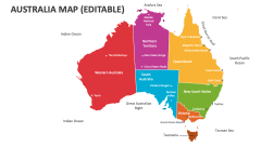
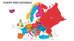
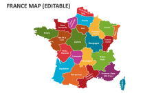
Related Products
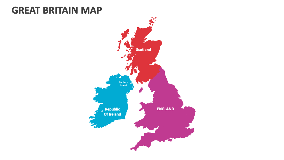
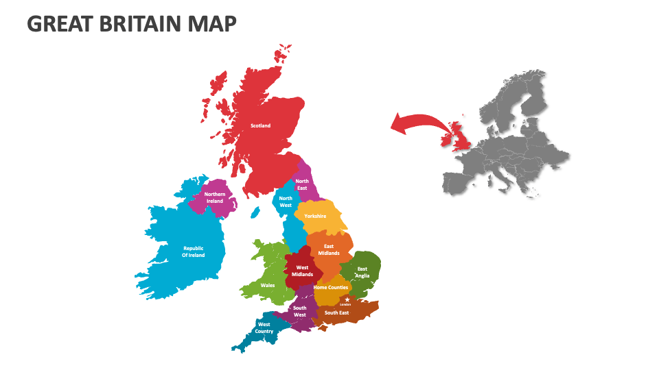
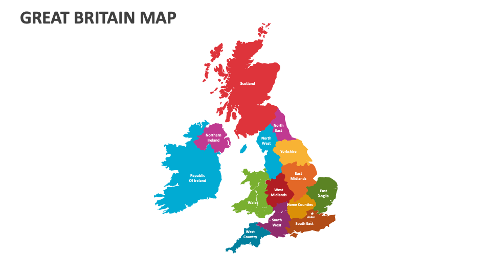
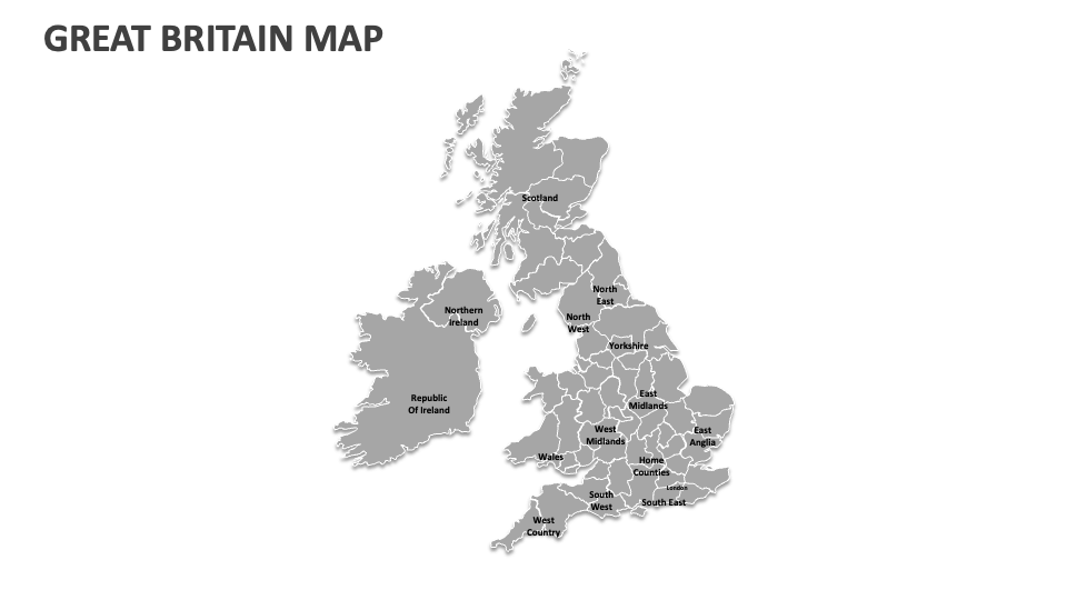
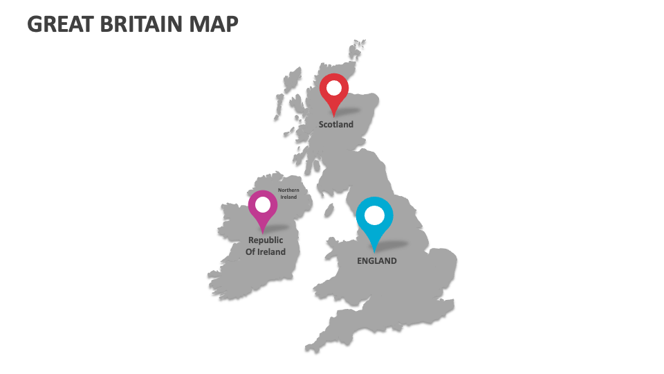
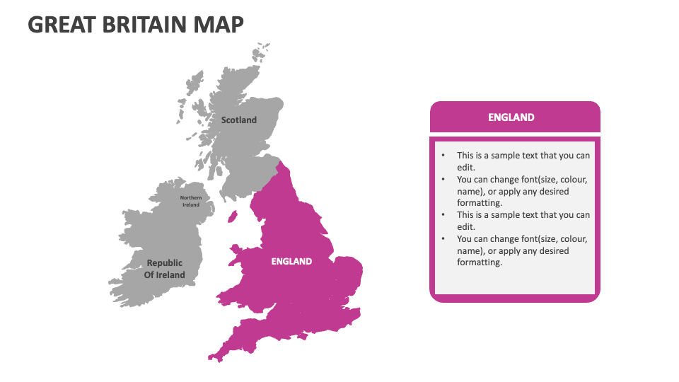
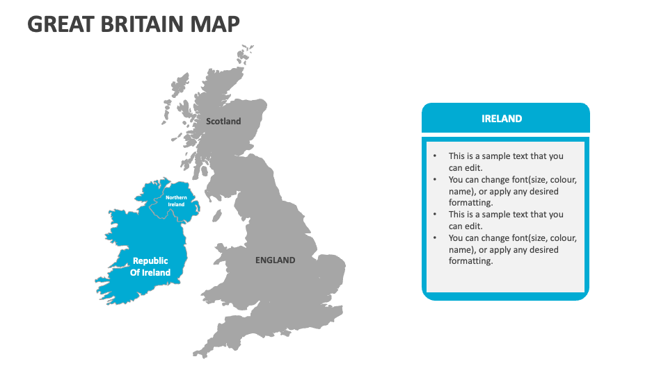
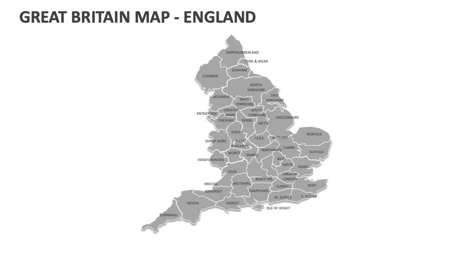
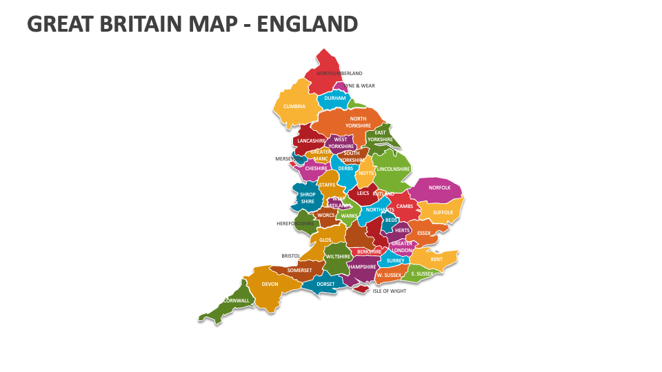
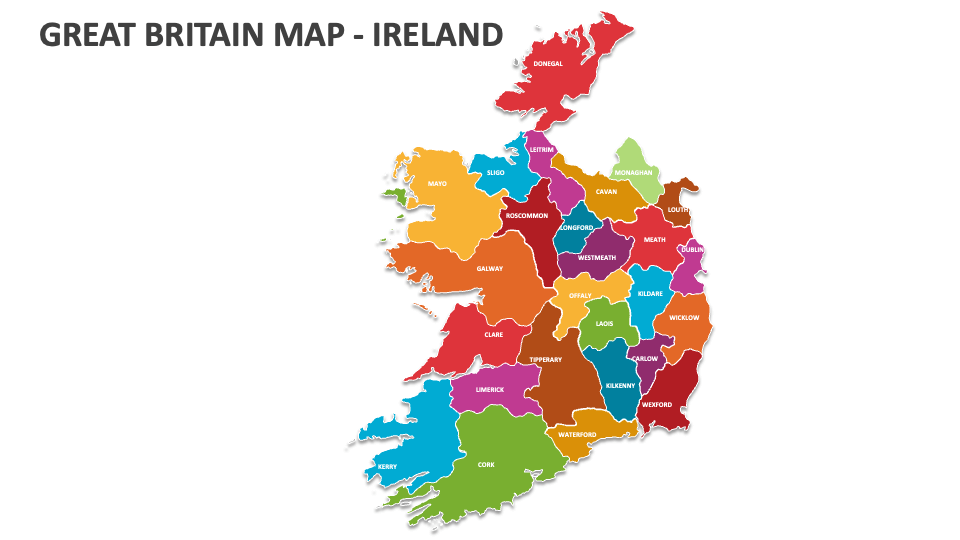
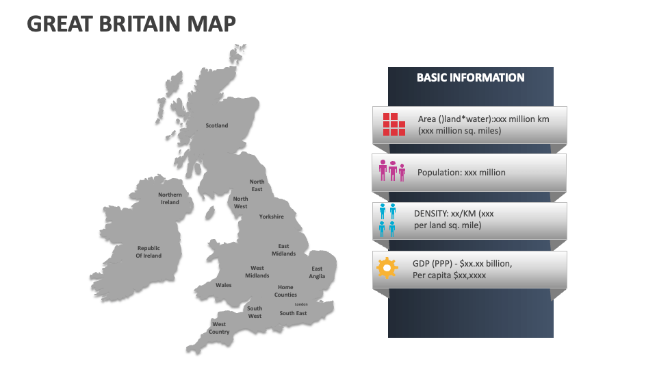
Download our Great Britain Map MS PowerPoint and Google Slides presentation template to depict political boundaries, administrative regions, prominent industries, demographic trends, human migration patterns, and famous historical sites and landmarks across Great Britain. 100% customizable slides!
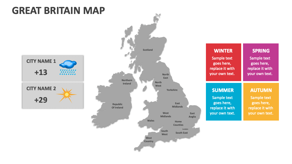
Marketing heads can utilize this deck to illustrate the marketing campaigns targeted to various states or cities in Great Britain. Educators can showcase to students the cultural diversity and traditions in different regions of Great Britain. Sports enthusiasts can use Great Britain map illustrations to highlight areas where famous sports personalities hail from. Meteorologists can illustrate the weather patterns and average temperature in various parts of this nation.