
Idaho Map
In stock
$5.00
item details (3 Editable Slides)
- Applications Supported: PowerPoint, Google Slides
- File Type: .pptx, Google Slides
- Aspect Ratio:16:9 (Wide Screen)
- Animation: No
Idaho Map
Idaho Map
(3 Editable Slides)
Related Products

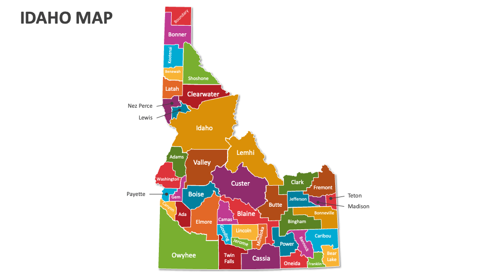
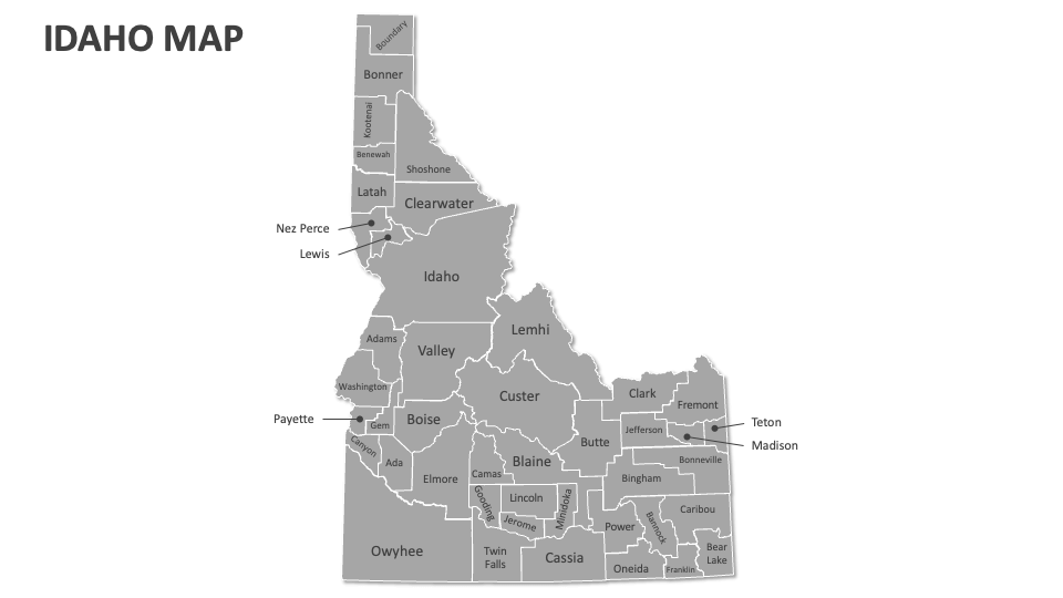
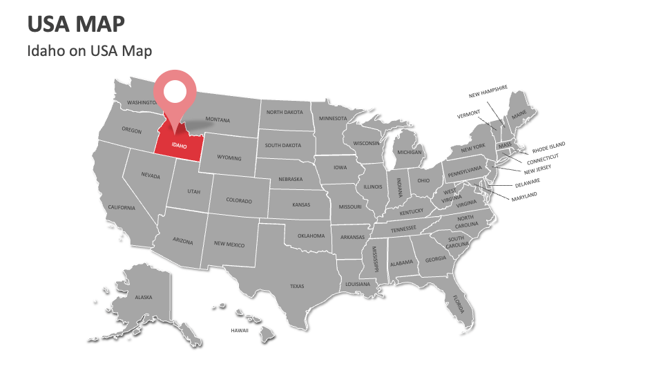
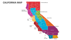
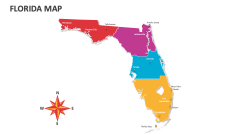
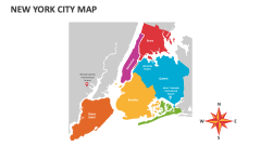
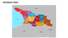
Leverage our professionally designed Idaho Map MS PowerPoint and Google Slides presentation template to showcase historical sites and monuments, political borders, electoral areas, distribution of key natural resources, historical trade routes, recreational areas, and more in Idaho.
Business leaders and legal experts can visualize regulatory frameworks, licensing requirements, and government policies essential for conducting business operations in Idaho. Educators can use these map illustrations to highlight key areas of potato production, the location of Snake River Valley, etc. You can illustrate the location of major dams, like Hells Canyon Dam, and their roles in energy production and water management.