
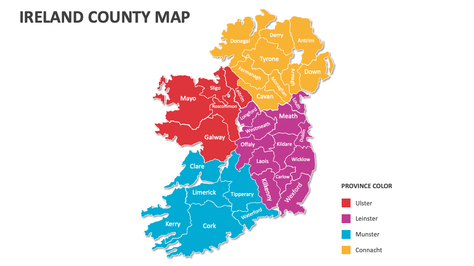
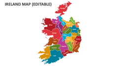
Ireland County Map
In stock
$5.00
item details (1 Editable Slide)
- Applications Supported: PowerPoint, Google Slides
- File Type: .pptx, Google Slides
- Aspect Ratio:16:9 (Wide Screen)
- Animation: No
Ireland County Map
Ireland County Map
(1 Editable Slide)
Related Products
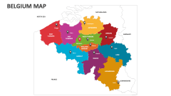
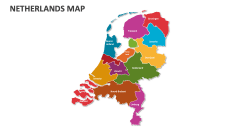
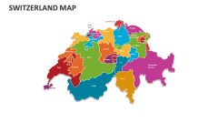
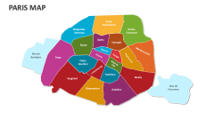
We have created the Ireland County Map MS PowerPoint and Google Slides presentation template to help you present statistics, fun facts, and interesting trivia related to the counties of Ireland in a visually stimulating manner. The deck comprises map illustrations and icons that will help you add a layer of comprehension to your content.
Sales heads can use this deck to illustrate Ireland's highest and lowest-performing counties based on sales collections. Educators can showcase an in-depth introduction to 32 counties of Ireland and information about their geographic features and landscapes. You can also highlight regions rich in natural resources, population demographics and diversity, and transportation infrastructure in each county.