
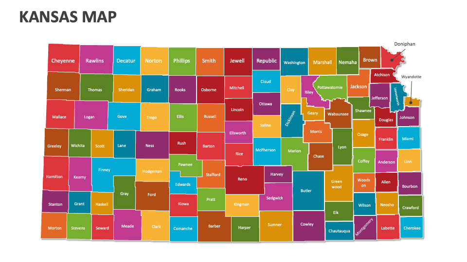
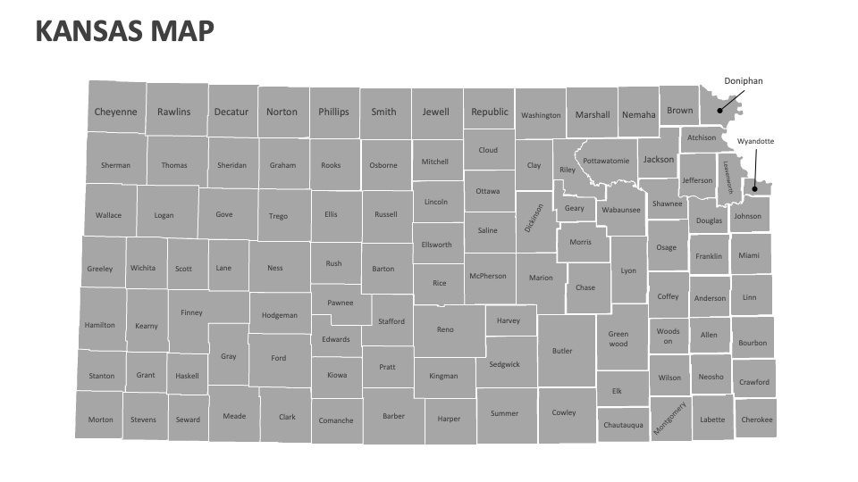
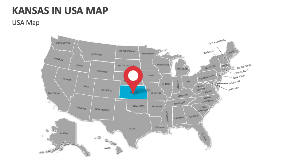
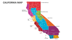
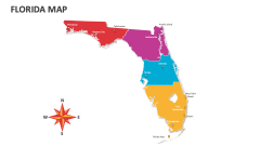
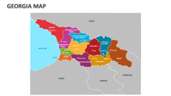
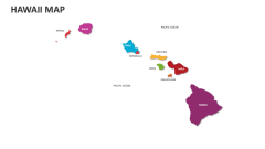
Kansas Map
In stock
$5.00
item details (3 Editable Slides)
- Applications Supported: PowerPoint, Google Slides
- File Type: .pptx, Google Slides
- Aspect Ratio:16:9 (Wide Screen)
- Animation: No
Kansas Map
Kansas Map
(3 Editable Slides)
Related Products
Grab our Kansas Map MS PowerPoint and Google Slides presentation template to showcase socio-economic trends, telecommunications coverage areas, historical trails and routes, distribution of public services, weather patterns, key sites associated with wind energy production, and more in Kansas.
HR heads can visualize details about region-based itineraries for business trips, conferences, and retreats in Kansas, along with logistical details and activities tailored to each location. Educators can incorporate these map illustrations into their slides to visualize the locations of prominent universities, research institutes, and educational hubs in this U.S. state. You can illustrate the major rivers that course through various regions or cities in Kansas.