
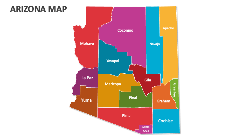
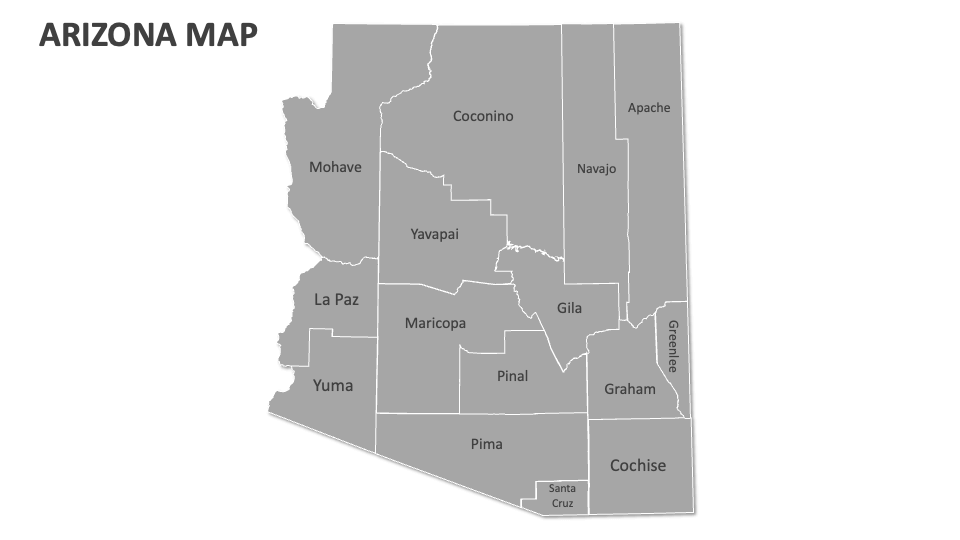
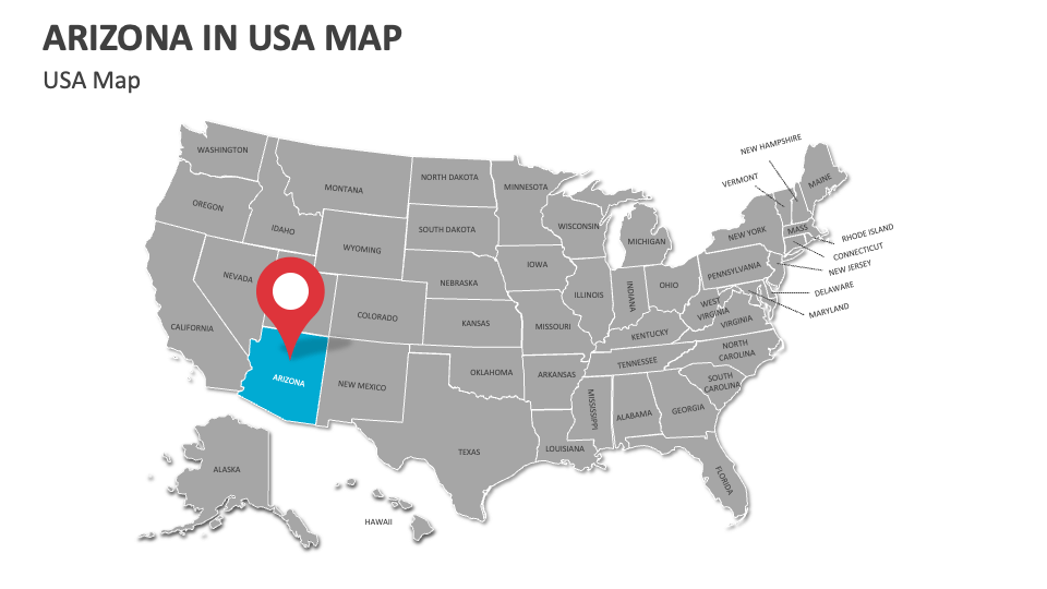
Arizona Map
In stock
$5.00
item details (3 Editable Slides)
- Applications Supported: PowerPoint, Google Slides
- File Type: .pptx, Google Slides
- Aspect Ratio:16:9 (Wide Screen)
- Animation: No
Arizona Map
Arizona Map
(3 Editable Slides)
Related Products
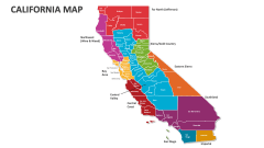
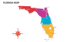
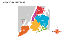
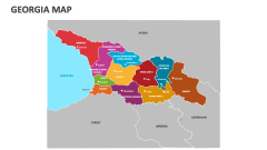
Lay your hands on our Arizona Map MS PowerPoint and Google Slides presentation template to showcase Arizona’s river bodies, wildlife and conservation areas, major transportation routes, areas impacted by sand dunes, natural wonders and national parks, electoral boundaries, socio-economic trends, and more.
Business owners can use this deck to highlight the locations of their branches, customer demand trends, and more in Arizona. Educators can present crucial aspects or features of Arizona’s significant regions, i.e., the Colorado Plateau, Transition Zone, and Basins. Policymakers and government officials can present information about regional development initiatives, infrastructure projects, and demographic trends across different regions of the U.S. state.