
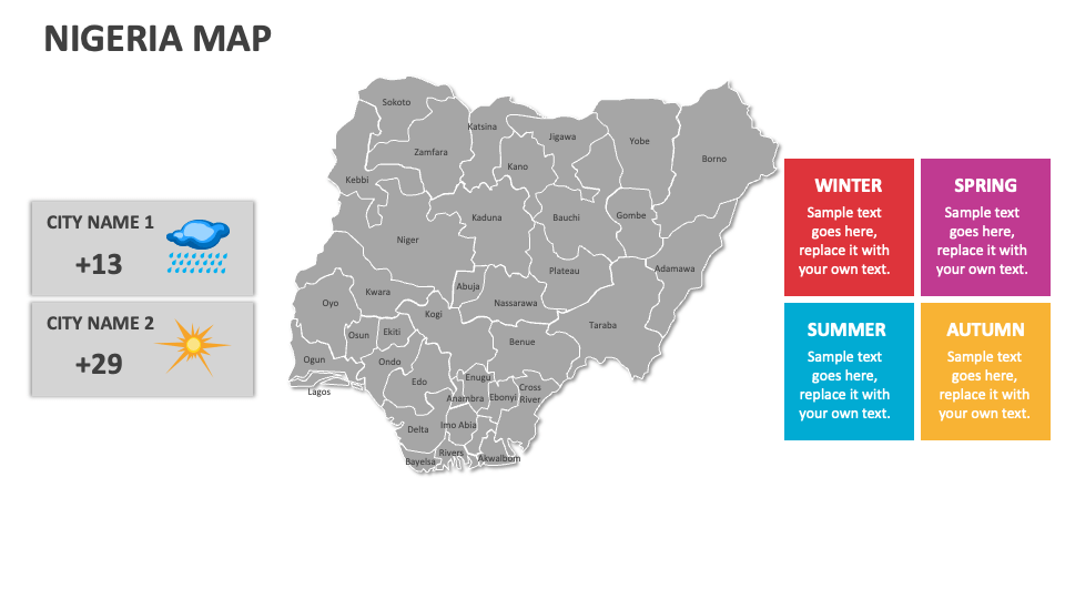
Nigeria Map
In stock
$5.00
item details (10 Editable Slides)
- Applications Supported: PowerPoint, Google Slides
- File Type: .pptx, Google Slides
- Aspect Ratio:16:9 (Wide Screen)
- Animation: No
Nigeria Map
Nigeria Map
(10 Editable Slides)

Related Products

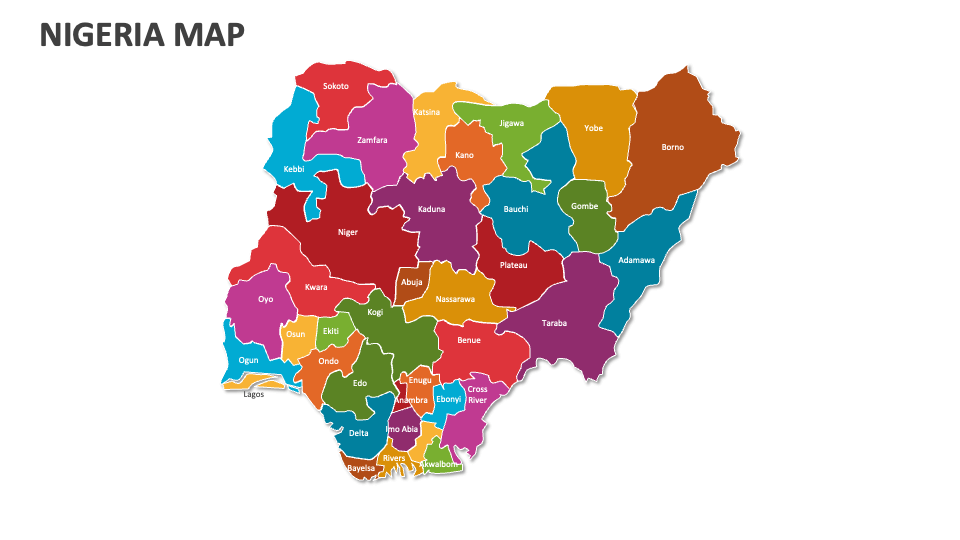
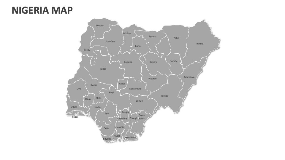
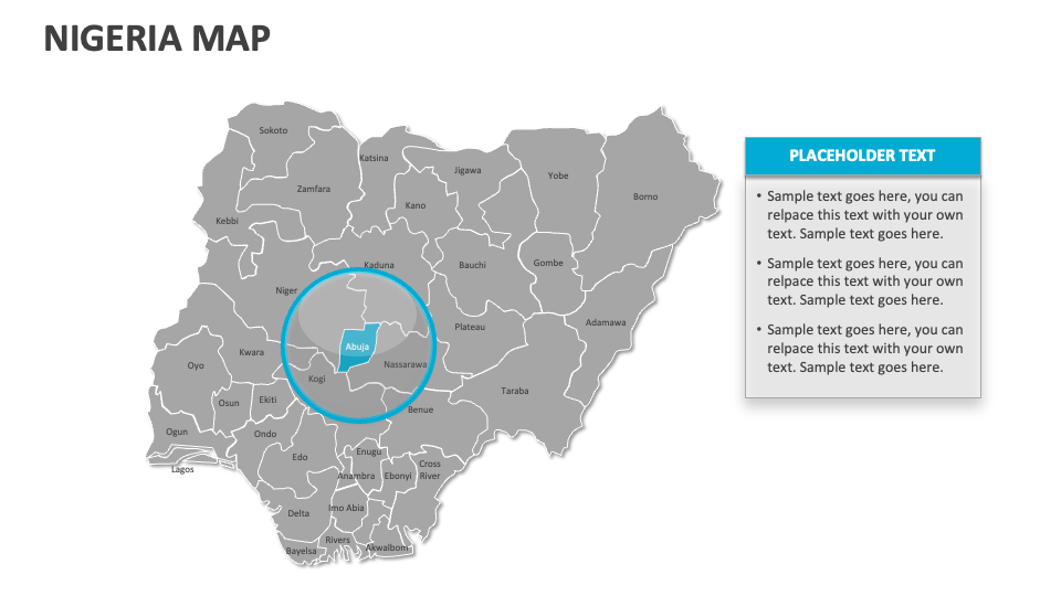
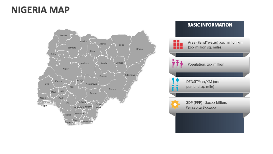
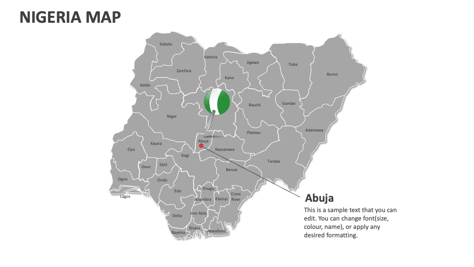
We have come up with the Nigeria Map presentation template, which is designed for MS PowerPoint and Google Slides to help you showcase significant historical sites, regions of economic development and growth, agricultural zones, political boundaries, cultural diversity, and more in Nigeria. Get it now!
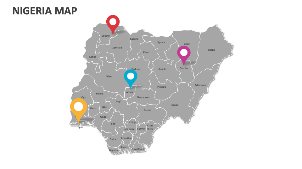
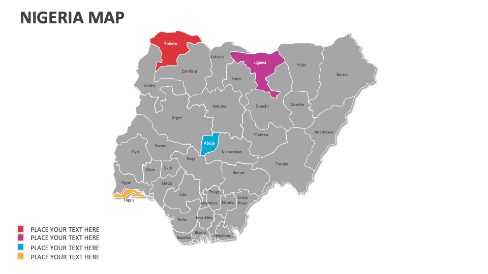
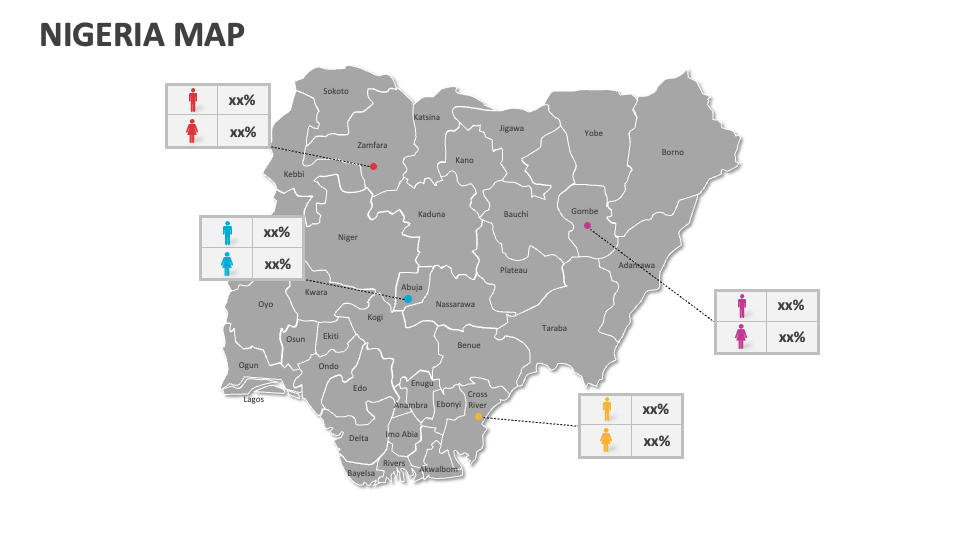
Sales and marketing heads can make the most of this deck to visualize consumer behavior and purchasing power in various cities or towns in Nigeria. Educators can depict the geographical layout of Nigeria, the nation’s transportation network, infrastructure development, and more. Tour and travel agents can incorporate these map illustrations into their slides to highlight the major tourist attractions of the country, their significance, and the best time to visit them.