
Uganda Map
In stock
$5.00
item details (10 Editable Slides)
- Applications Supported: PowerPoint, Google Slides
- File Type: .pptx, Google Slides
- Aspect Ratio:16:9 (Wide Screen)
- Animation: No
Uganda Map
Uganda Map
(10 Editable Slides)

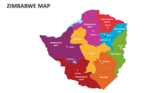
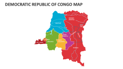
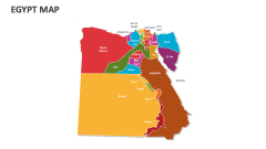
Related Products

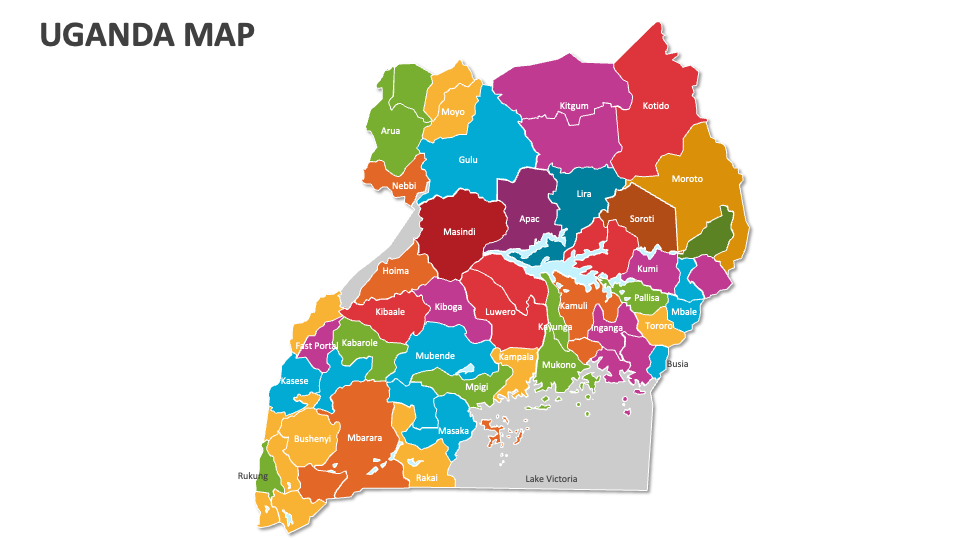
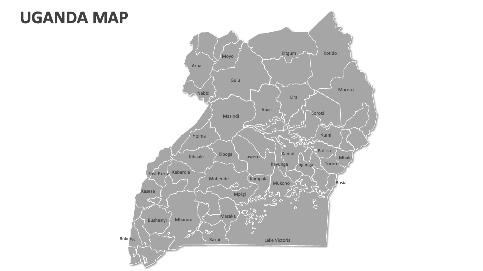
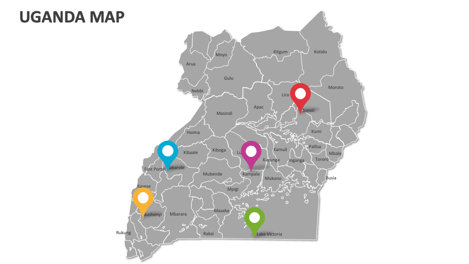
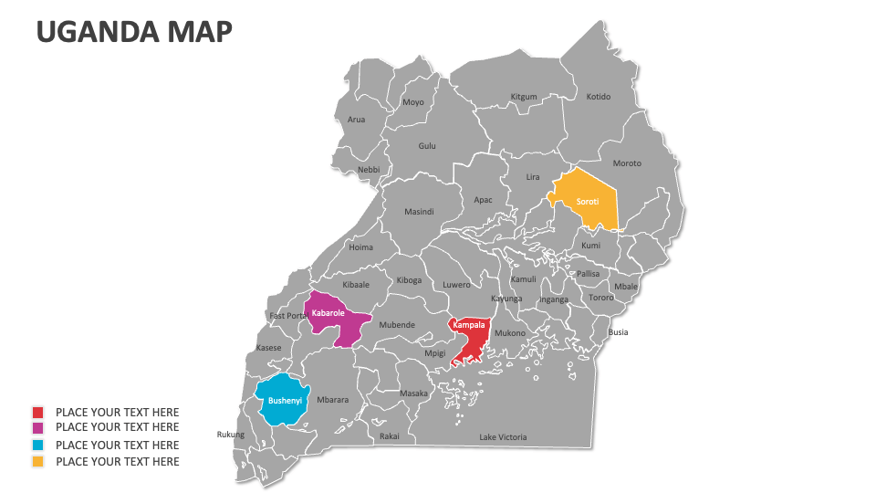
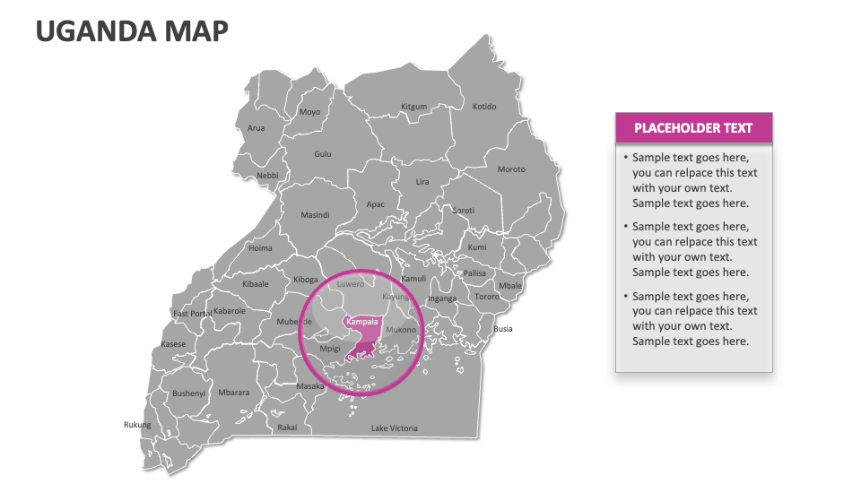
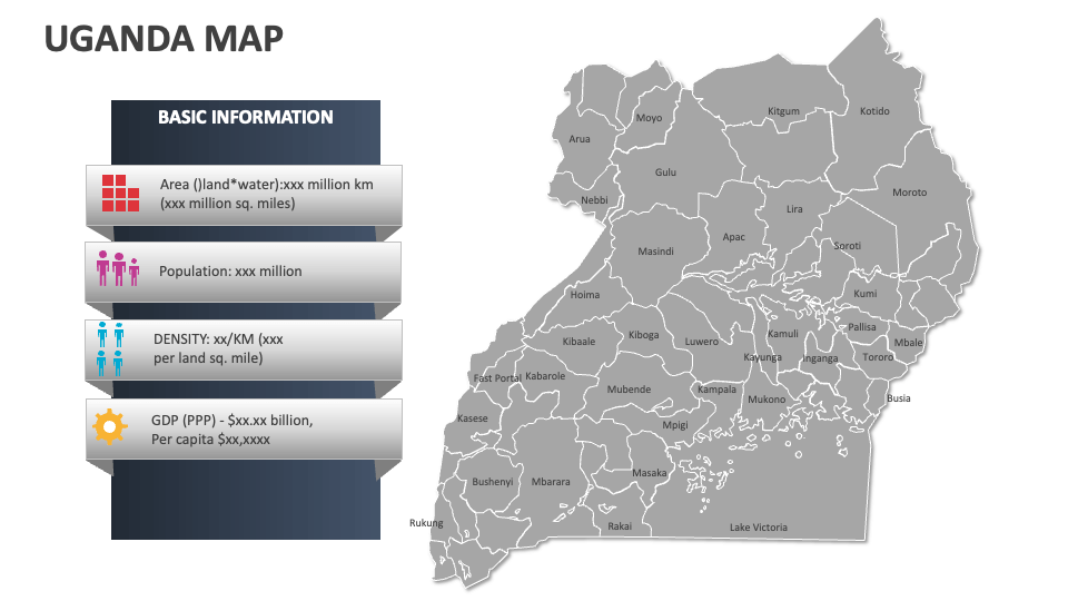
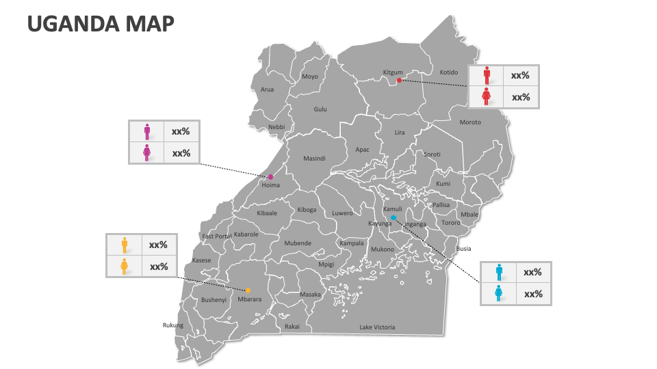
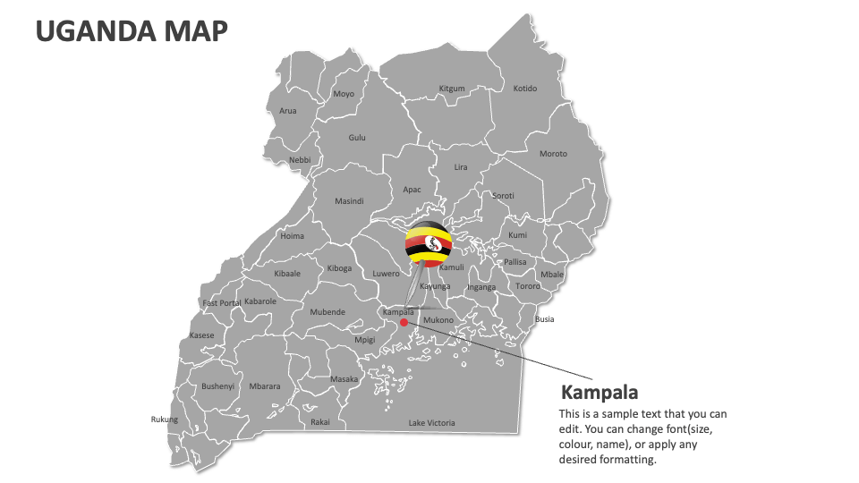
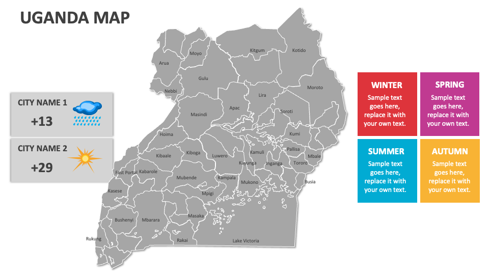
Download our Uganda Map MS PowerPoint and Google Slides presentation template to showcase Uganda’s major national parks, urban development trends, major administrative divisions, total land area, agricultural zones, areas rich in natural resources, etc.
Business heads can use this deck to share information about the supply chain networks and the locations of key suppliers across various regions in Uganda. Travel agents and tour operators can visualize the locations of popular tourist attractions, trekking locations in Bwindi, and more in this country. You can deliver a compelling presentation about the distribution of this country’s various ethnic groups and their respective settlement/migration patterns.