
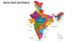
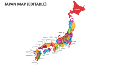
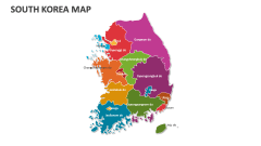
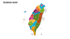
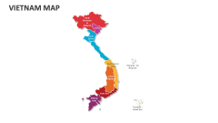
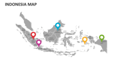
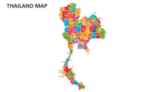
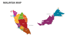
North Korea Map
In stock
$5.00
item details (8 Editable Slides)
- Applications Supported: PowerPoint, Google Slides
- File Type: .pptx, Google Slides
- Aspect Ratio:16:9 (Wide Screen)
- Animation: No
North Korea Map
North Korea Map
(8 Editable Slides)
Related Products


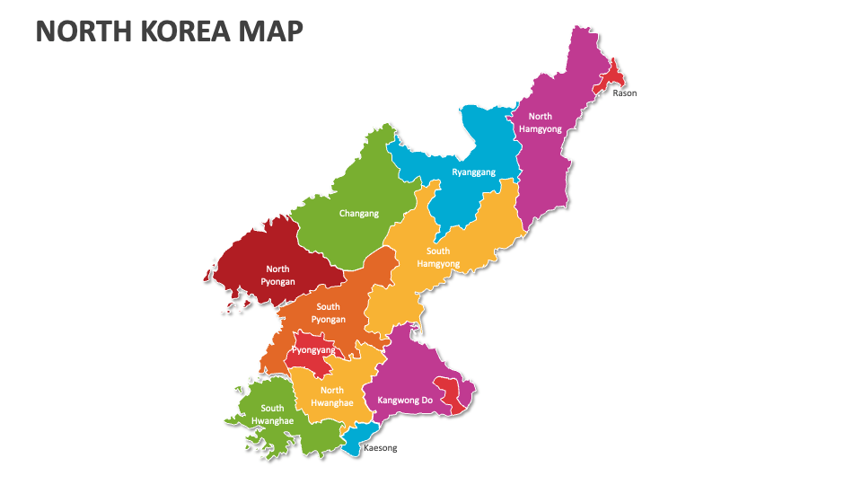
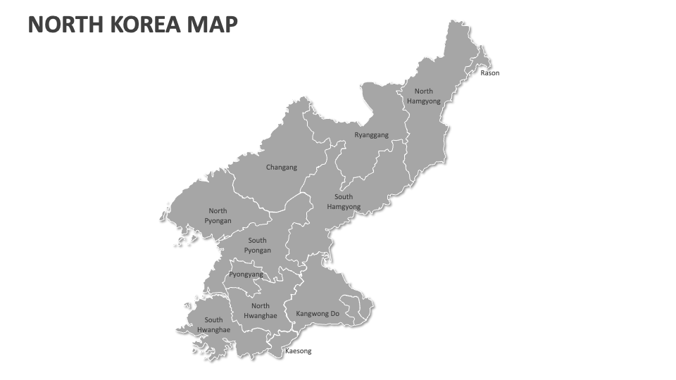
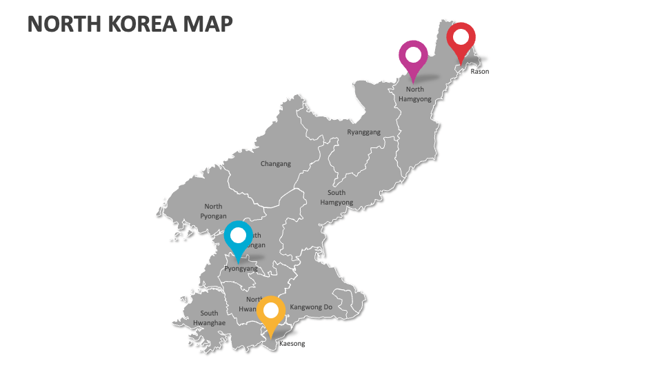
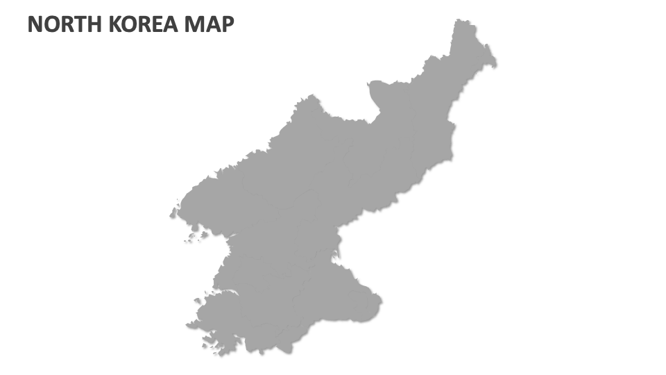
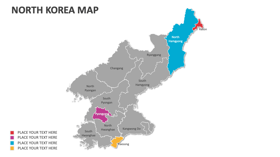
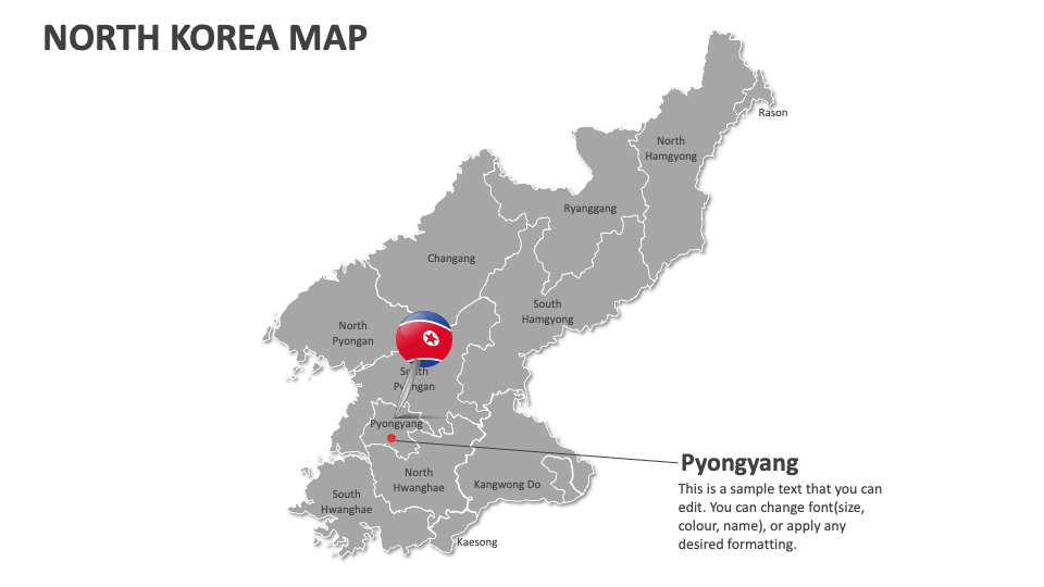
Get our North Korea Map MS PowerPoint and Google Slides presentation template to depict the geographical features, political borders, governance structure in various regions, military bases and strategic sites, significant trade routes, missile testing locations, and more in North Korea.
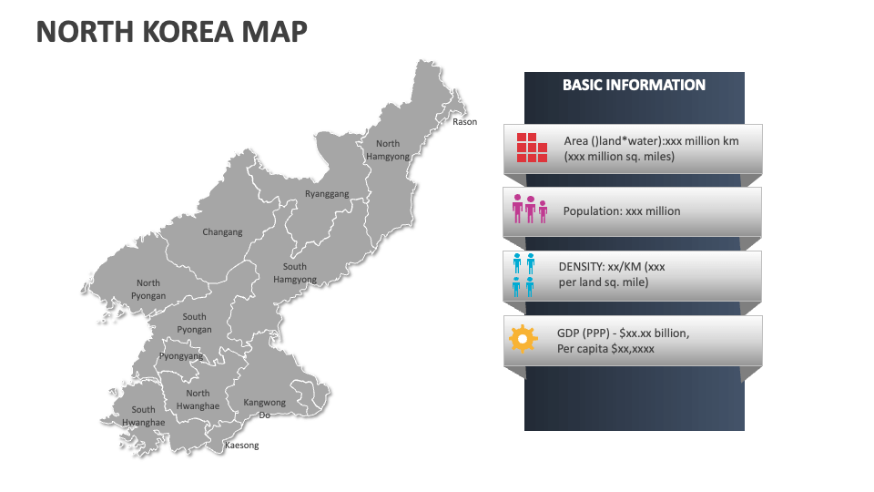
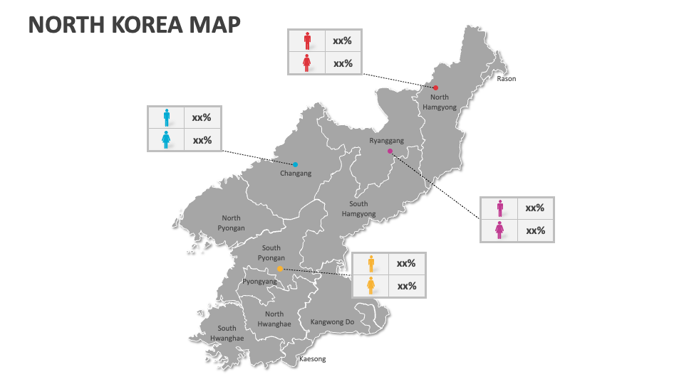
Sales heads can utilize these map illustrations to showcase the regions in North Korea with the highest and lowest sales figures. Business leaders can showcase the locations of Special Economic Zones (SEZs) like the Kaesong Industrial Region. Educators will find these map illustrations helpful in highlighting the regions with reported human rights violations, the locations of labor camps, etc. You can also visualize the areas prone to natural disasters like floods and droughts.