
Rhode Island Map
In stock
$5.00
item details (3 Editable Slides)
- Applications Supported: PowerPoint, Google Slides
- File Type: .pptx, Google Slides
- Aspect Ratio:16:9 (Wide Screen)
- Animation: No
Rhode Island Map
Rhode Island Map
(3 Editable Slides)
Related Products

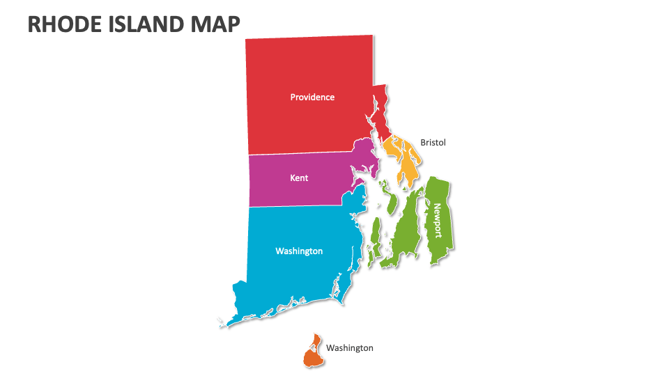
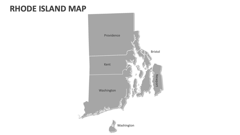
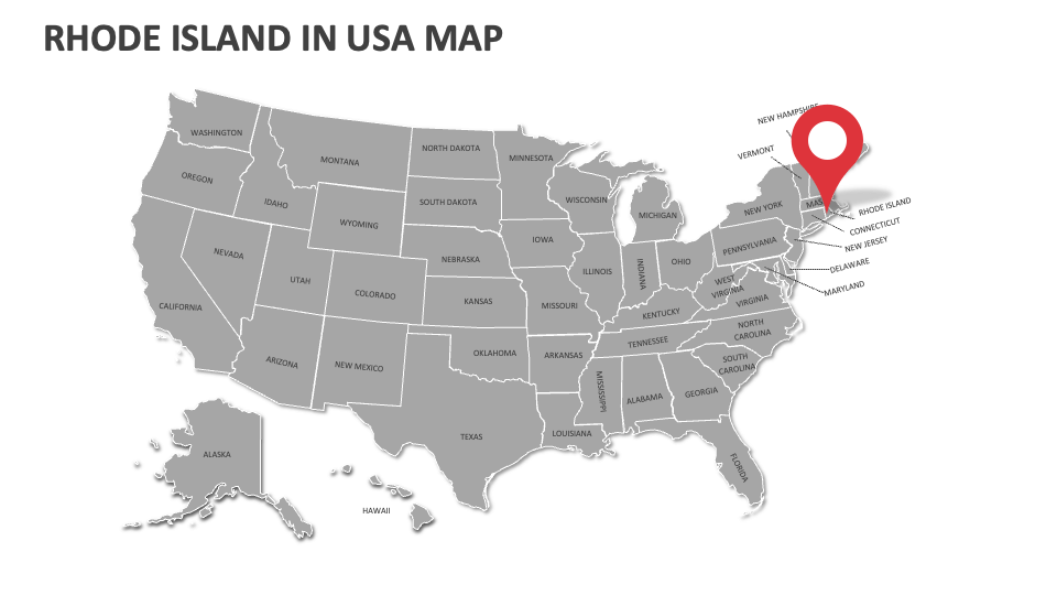
Take advantage of our Rhode Island Map presentation template to depict key historical sites, significant fishing areas, marine heritage, voting trends, administrative buildings, economic indicators, and more in Rhode Island. Designed for MS PowerPoint and Google Slides!
Sales and marketing heads can utilize this deck to showcase different demographic groups, key competitors, and areas with a high customer base in Rhode Island. Market analysts and logistics experts can visualize the market share of other brands or companies across multiple regions in Rhode Island, key supply chain routes and delivery zones, and more. These map illustrations can also be used to highlight the locations of the state’s municipalities, government buildings, and important civic centers.