




Scandinavia/Nordic Countries Map
In stock
$5.00
item details (8 Editable Slides)
- Applications Supported: PowerPoint, Google Slides
- File Type: .pptx, Google Slides
- Aspect Ratio:16:9 (Wide Screen)
- Animation: No
Scandinavia/Nordic Countries Map
Scandinavia/Nordic Countries Map
(8 Editable Slides)
Related Products
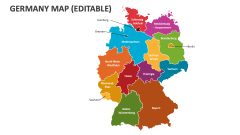
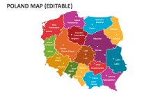
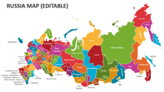
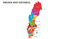
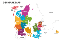
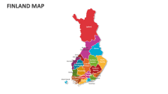
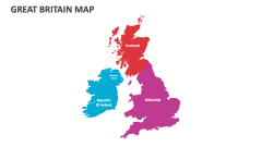
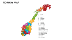
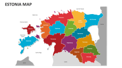
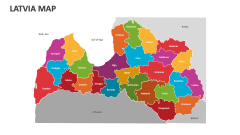
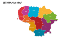
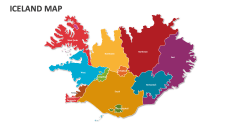

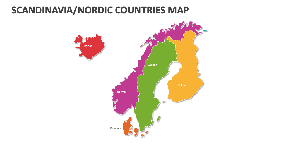
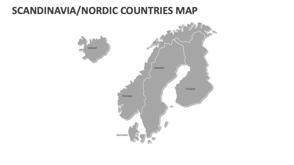
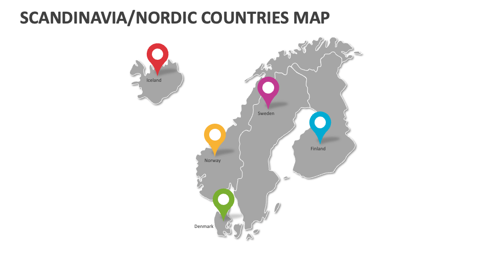
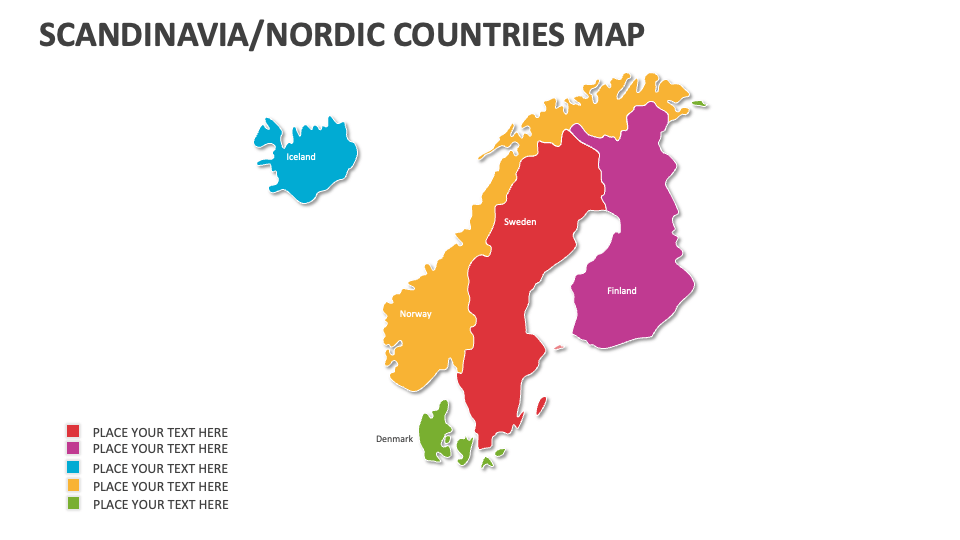
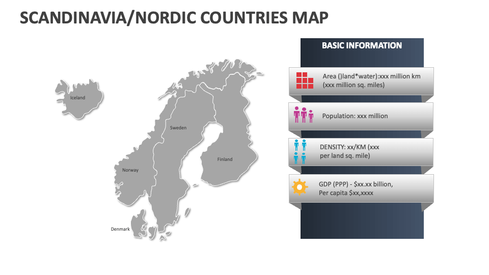
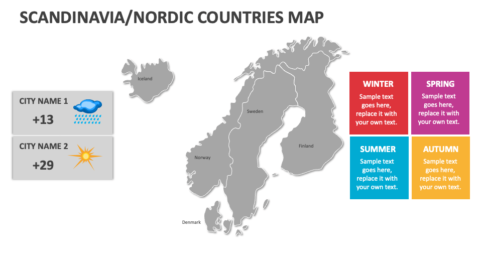
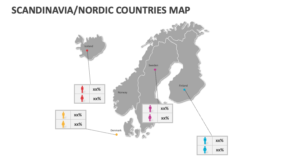
Scandinavia is a Northern European region that typically includes three countries, i.e., Denmark, Norway, and Sweden. Download our Scandinavia Map MS PowerPoint and Google Slides presentation template to showcase crucial information about the cities, islands, and autonomous territories of these Nordic or Scandinavian countries in an easy-to-understand manner.
Government officials can visualize the distribution of parliamentary seats and constituencies within each Scandinavian country. Educators can include these slides in their academic presentations to explain why Scandinavian countries consistently rank high on the global happiness indices. You can depict locations of major wind farms and hydroelectric power plants in Nordic countries. Tour and travel agents can visualize the areas within the Arctic Circle and regions experiencing the Midnight Sun, significant Viking archaeological sites, etc.