
Sri Lanka Map
In stock
$5.00
item details (10 Editable Slides)
- Applications Supported: PowerPoint, Google Slides
- File Type: .pptx, Google Slides
- Aspect Ratio:16:9 (Wide Screen)
- Animation: No
Sri Lanka Map
Sri Lanka Map
(10 Editable Slides)

Related Products
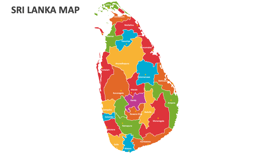
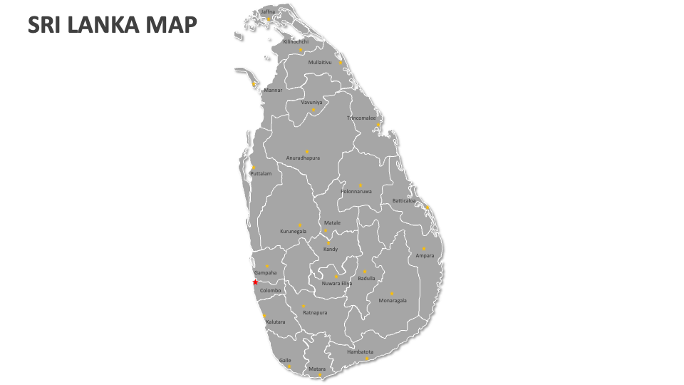
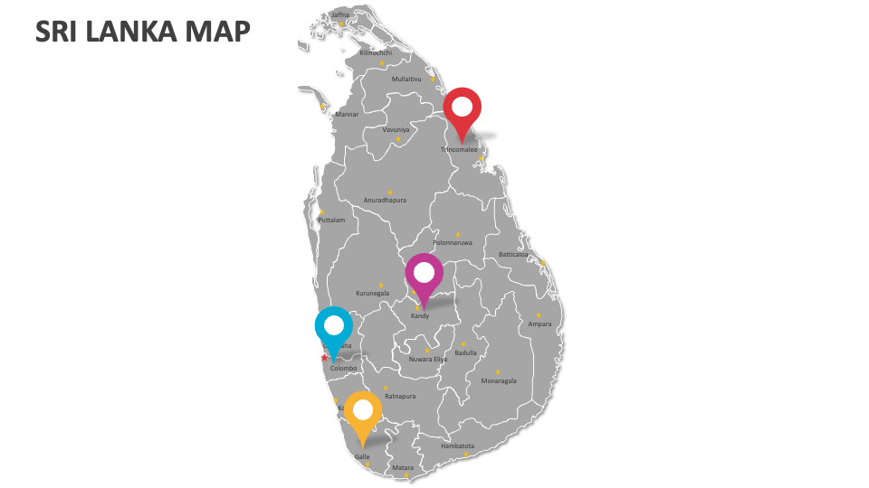
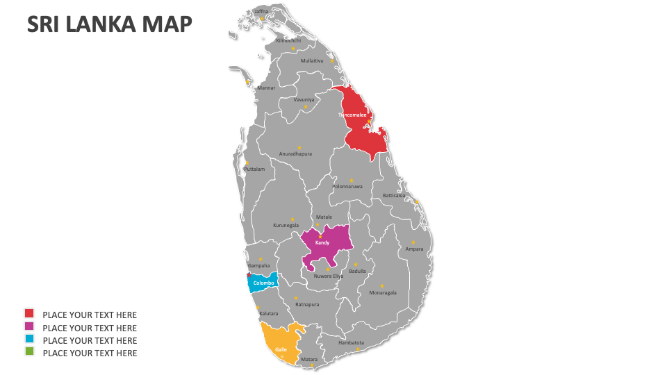
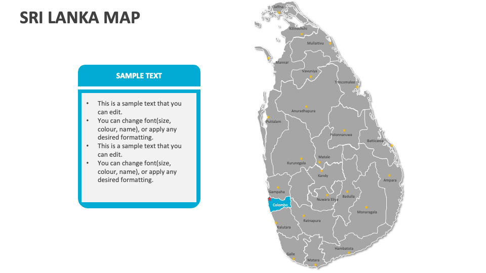
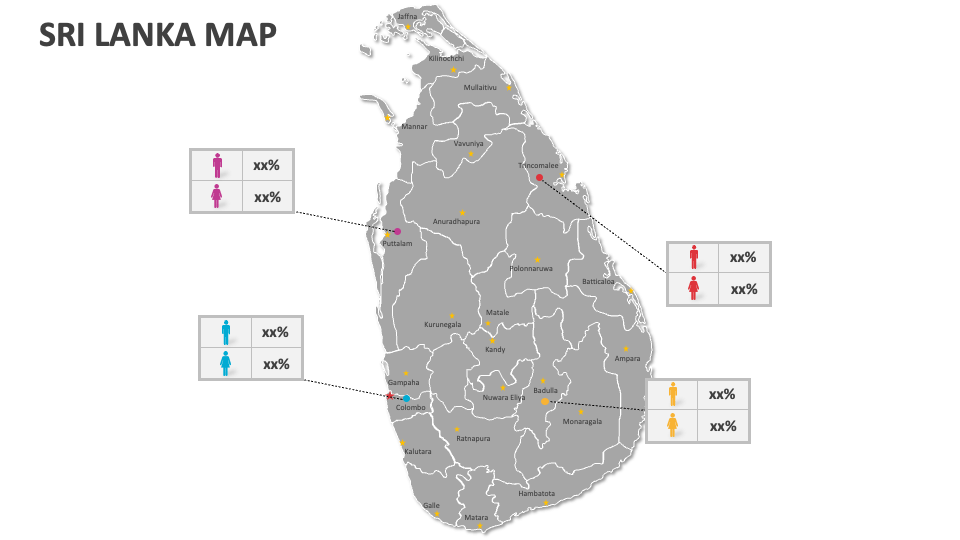
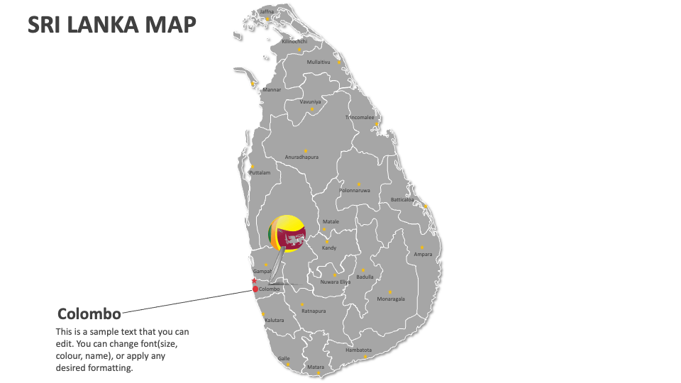
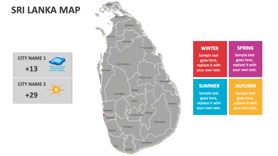
Download our Sri Lanka Map MS PowerPoint and Google Slides presentation template to depict information about Sri Lanka’s population density, the pilgrimage route to Adam's Peak, major wildlife sanctuaries and national parks, weather patterns, traditional fishing villages along the coast, legal regulations for conducting business options, etc.
Sales and marketing heads can use this deck to visualize their business’s headquarters, corporate offices, customer support centers, and more in Sri Lanka. Educators can shed light on land areas of Sri Lanka's key regions, i.e., Central Highlands, the Plains, and the Coastal Belt. You can use these map illustrations to present information about the extensive network of rivers that course through the island.