
Swaziland (Eswatini) Map
In stock
$5.00
item details (4 Editable Slides)
- Applications Supported: PowerPoint, Google Slides
- File Type: .pptx, Google Slides
- Aspect Ratio:16:9 (Wide Screen)
- Animation: No
Swaziland (Eswatini) Map
Swaziland (Eswatini) Map
(4 Editable Slides)
Related Products
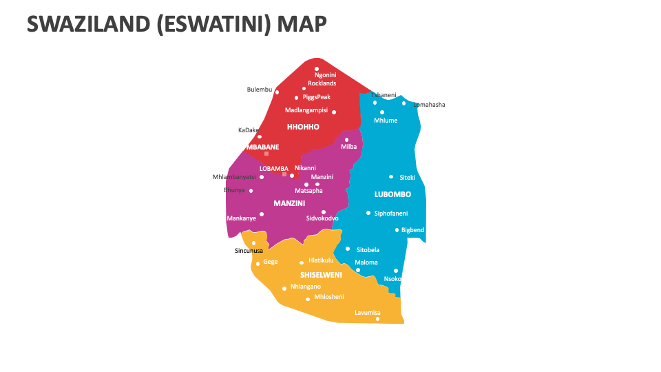
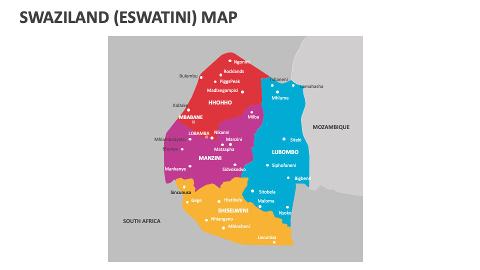
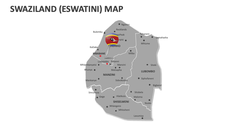
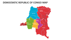
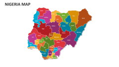
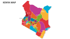
Download our Swaziland (Eswatini) Map MS PowerPoint and Google Slides presentation template to depict the geographic layout and political boundaries, popular tourist destinations, natural landmarks, regions of economic significance, and much more in Eswatini, previously known as Swaziland.
Sales heads can utilize this deck to shed light on the locations of target customers with specific demographic and psychographic profiles. Educators can highlight the rivers cruising through the regions of this Southern African country. You can visualize lesser-known facts and land areas of the major administrative divisions and their subdivisions (imiphakatsi). You can also highlight the locations of regions in Eswatini that are rich in diverse wildlife.