
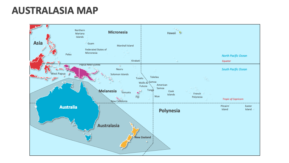
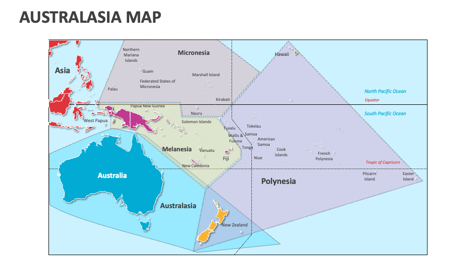
Australasia Map
In stock
$5.00
item details (2 Editable Slides)
- Applications Supported: PowerPoint, Google Slides
- File Type: .pptx, Google Slides
- Aspect Ratio:16:9 (Wide Screen)
- Animation: No
Australasia Map
Australasia Map
(2 Editable Slides)
Related Products

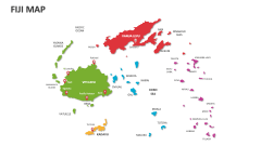
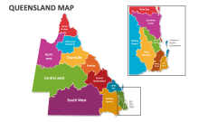
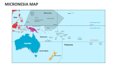
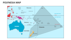
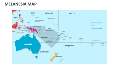
The Australasia region includes Australia, the island of New Guinea, New Zealand, and neighboring Pacific Ocean islands. With the help of our Australasia Map MS PowerPoint and Google Slides presentation template, you can visualize geographical, demographic, economic, etc., information about this region in a simplified and visually engaging manner.
Business owners and marketing heads can use this set to showcase the locations of their branches/business units and client bases in the Australasia region. Tour and travel experts can visualize the popular vacation destinations in this region and the best time to visit these places. Educators can include these slides in their presentations to highlight specific areas of Australasia on the map and explain their cultural and historical significance. Meteorologists can shed light on different Australasia countries' climatic conditions and weather patterns.