
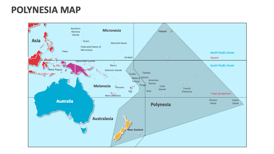
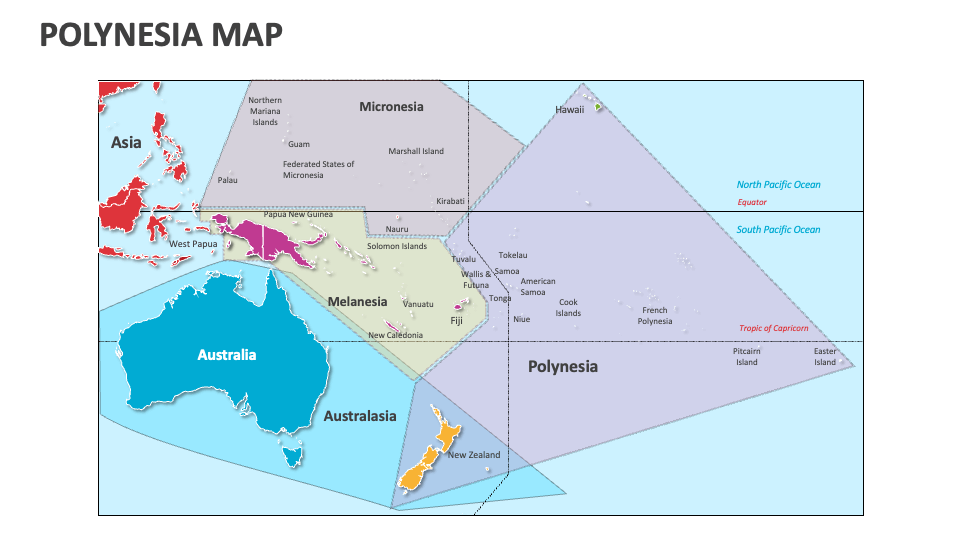
Polynesia Map
In stock
$5.00
item details (2 Editable Slides)
- Applications Supported: PowerPoint, Google Slides
- File Type: .pptx, Google Slides
- Aspect Ratio:16:9 (Wide Screen)
- Animation: No
Polynesia Map
Polynesia Map
(2 Editable Slides)
Related Products
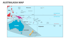
Our Polynesia Map MS PowerPoint and Google Slides presentation template will help presenters from varied backgrounds showcase information, statistics, and lesser-known facts about the islands, capitals, cities, and countries of Polynesia. Download this 100% customizable deck now!
Telecommunication experts can highlight the distribution of telecommunication infrastructure and hubs in major Polynesian cities. Educators can utilize these map illustrations to highlight important details about neighboring regions of Melanesia and Micronesia. Policymakers and government officials can present information about the administrative divisions and governance structures of Polynesian islands, the population density across various Polynesian cities, and more.