
Delaware Map
In stock
$5.00
item details (5 Editable Slides)
- Applications Supported: PowerPoint, Google Slides
- File Type: .pptx, Google Slides
- Aspect Ratio:16:9 (Wide Screen)
- Animation: No
Delaware Map
Delaware Map
(5 Editable Slides)

Related Products


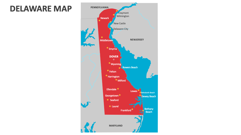
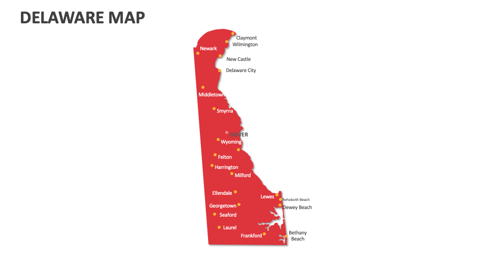
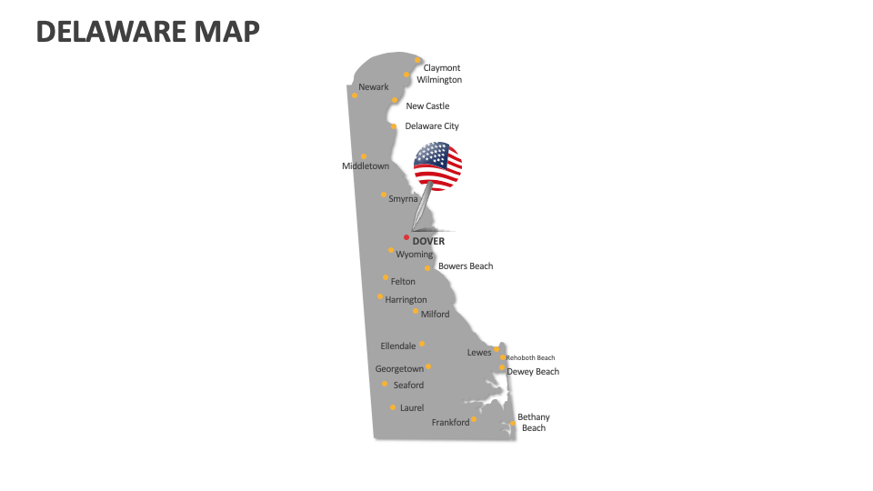
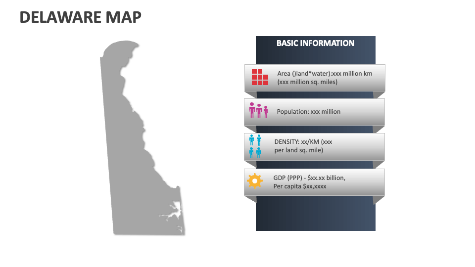
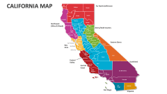
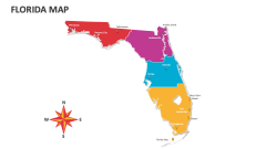
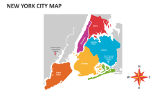
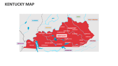
Download our Delaware Map MS PowerPoint and Google Slides presentation template to showcase information about the tourist attractions, top fall drives, population density in various regions, and more information about Delaware. The deck can be used to explain the historical significance of this state and its unique place in American history as "The First State."
Sales and marketing experts can use this deck to highlight region-wise sales and the company’s customer support branches in Delaware. Government officials can shed light on the voting patterns and election results from the various areas in this U.S. state. Meteorologists can depict the weather patterns and temperature in different areas of Delaware. Educators can visualize the locations of top educational schools, institutions, and research centers across the state.