
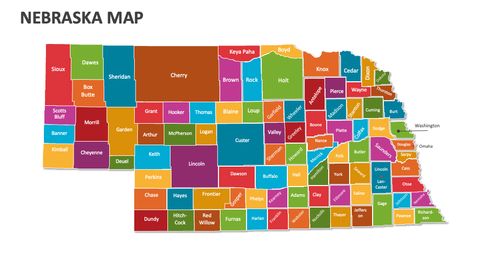
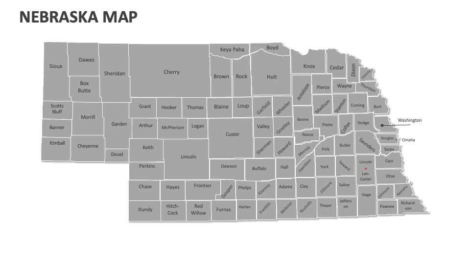
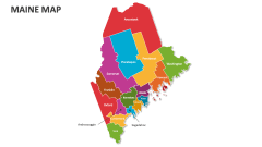
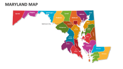
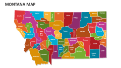
Nebraska Map
In stock
$5.00
item details (3 Editable Slides)
- Applications Supported: PowerPoint, Google Slides
- File Type: .pptx, Google Slides
- Aspect Ratio:16:9 (Wide Screen)
- Animation: No
Nebraska Map
Nebraska Map
(3 Editable Slides)
Related Products
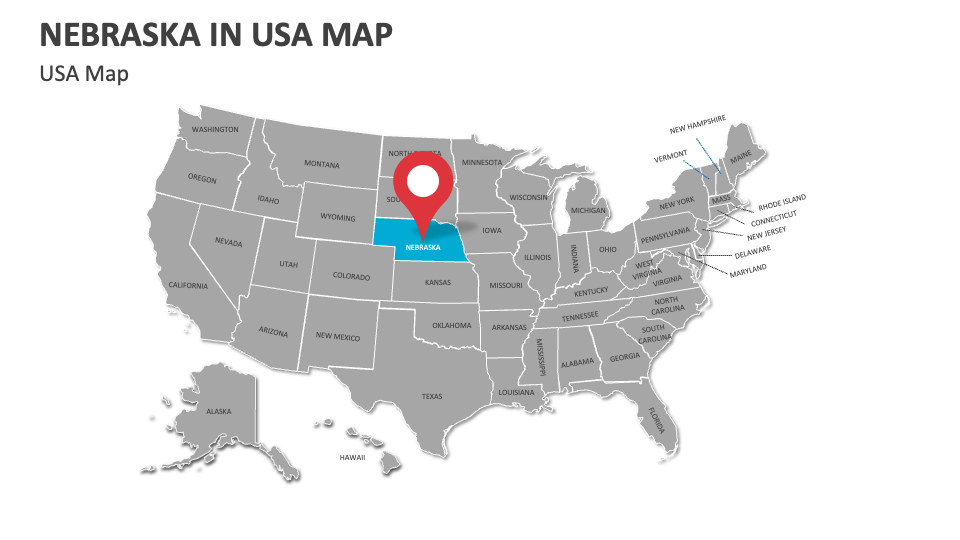
Lay your hands on our Nebraska Map MS PowerPoint and Google Slides presentation template to showcase urban centers, human migration patterns, key agricultural areas, political boundaries, and more in Nebraska. You can utilize these map illustrations to highlight the geographical location of this state in the U.S.
Sales and marketing experts can utilize this deck to depict the different consumer segments and their locations, the sales data and performance metrics across various regions of Nebraska, and more. Educators can illustrate the central irrigation systems and their impact on agriculture in the state. You can visualize the locations of Biogas production facilities and solar energy sites and their contributions to sustainable energy production.