
Seven Continents Map
In stock
$5.00
item details (1 Editable Slide)
- Applications Supported: PowerPoint, Google Slides
- File Type: .pptx, Google Slides
- Aspect Ratio:16:9 (Wide Screen)
- Animation: No
Seven Continents Map
Seven Continents Map
(1 Editable Slide)
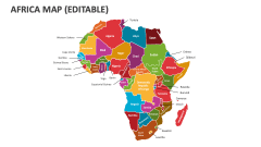
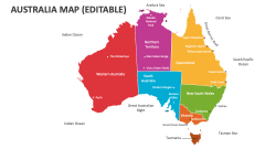
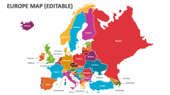
Related Products


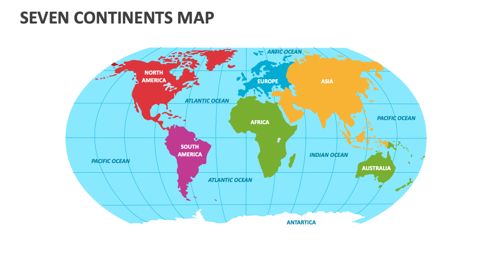
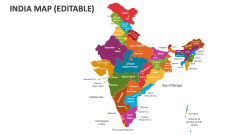
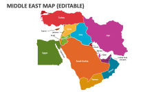
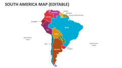
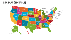
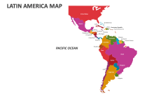
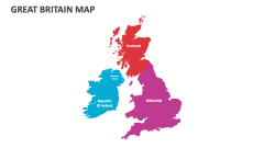
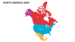
We have introduced the 7 Continents Map presentation slide for MS PowerPoint and Google Slides to help you showcase crucial information about each continent, like geographical boundaries, UNESCO World Heritage Sites, cultural diversity, population distribution, economic zones, climate regions, major cities, natural landmarks, etc.
Senior executives and CEOs of multinational corporations can use this slide to highlight the locations of their offices/headquarters across the globe. Tour and travel agents can illustrate information about the must-visit sightseeing locations in every continent and the best transportation routes to reach them. Educators can use this map illustration to depict countries with the largest area, highest population, and much more. You can also visualize the linguistic diversity, religions, and cultural practices in each continent.