
North America Map
In stock
$5.00
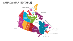
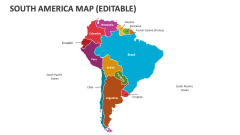
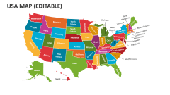
item details (9 Editable Slides)
- Applications Supported: PowerPoint, Google Slides
- File Type: .pptx, Google Slides
- Aspect Ratio:16:9 (Wide Screen)
- Animation: No
North America Map
North America Map
(9 Editable Slides)
Related Products
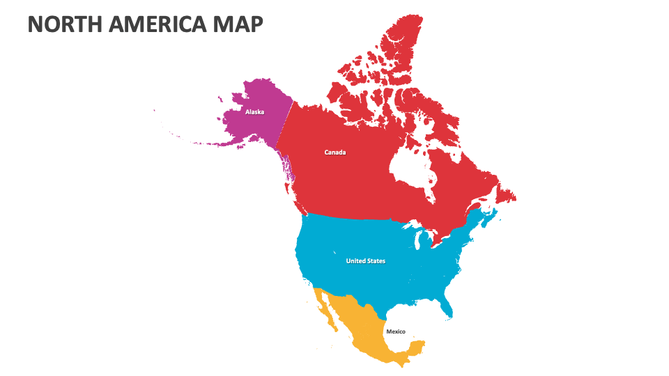
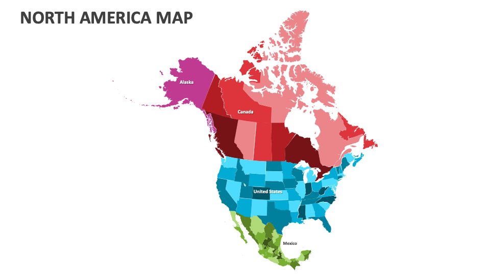
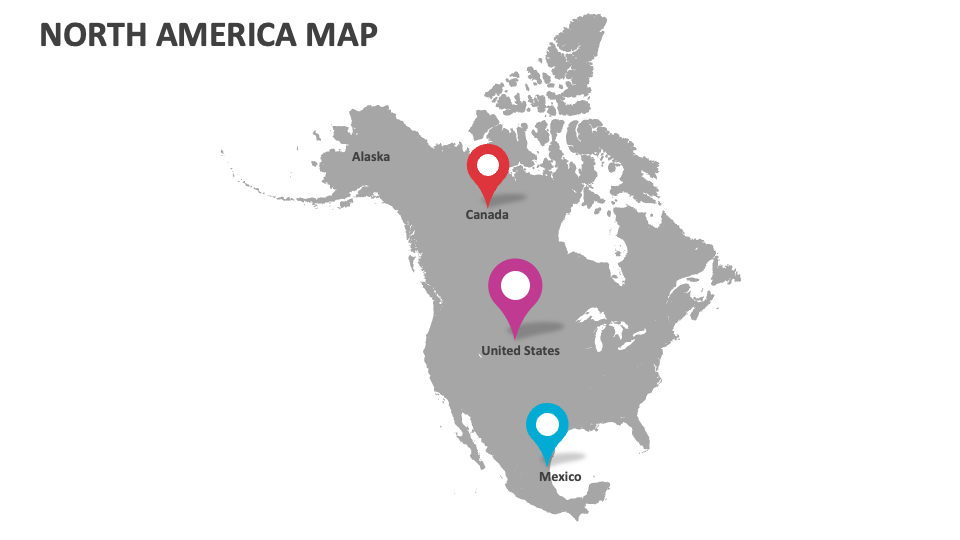
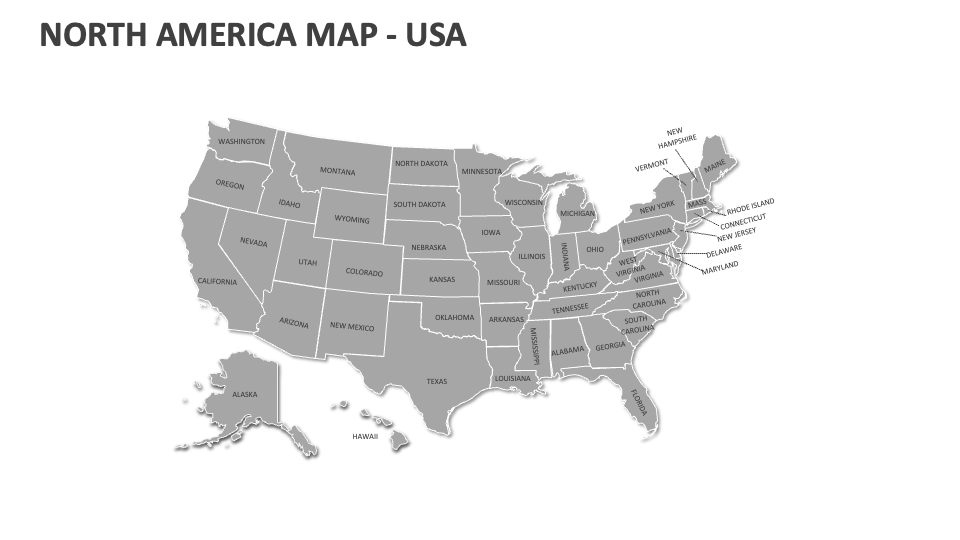
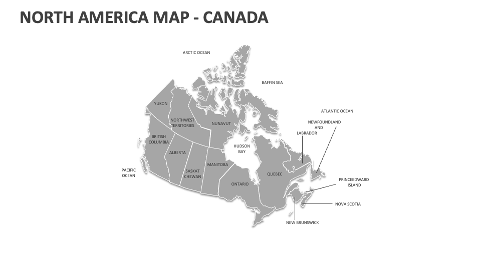
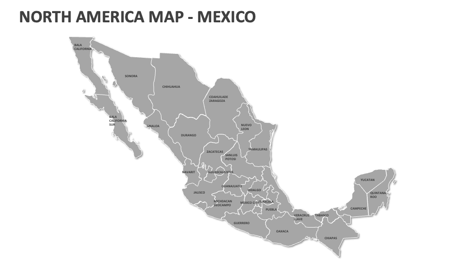
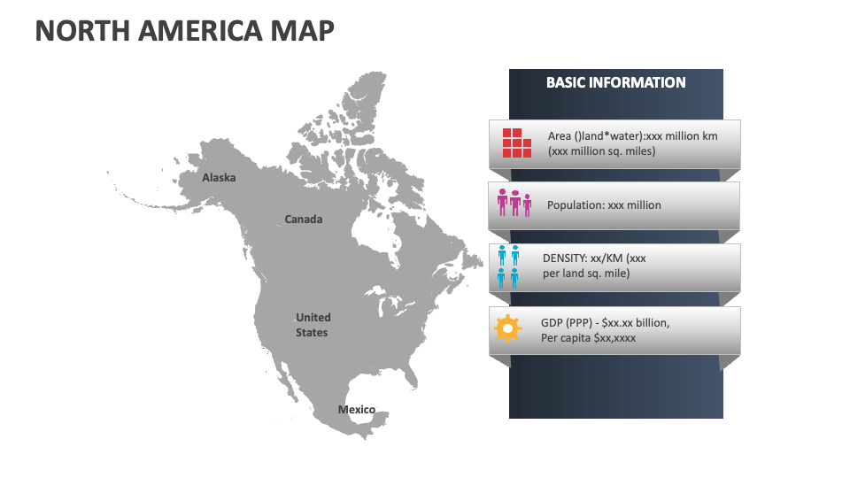
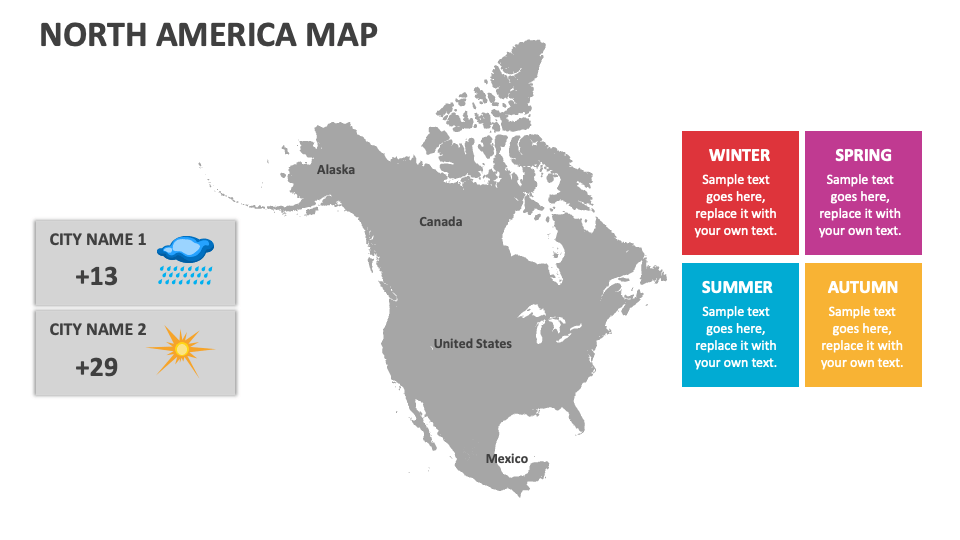
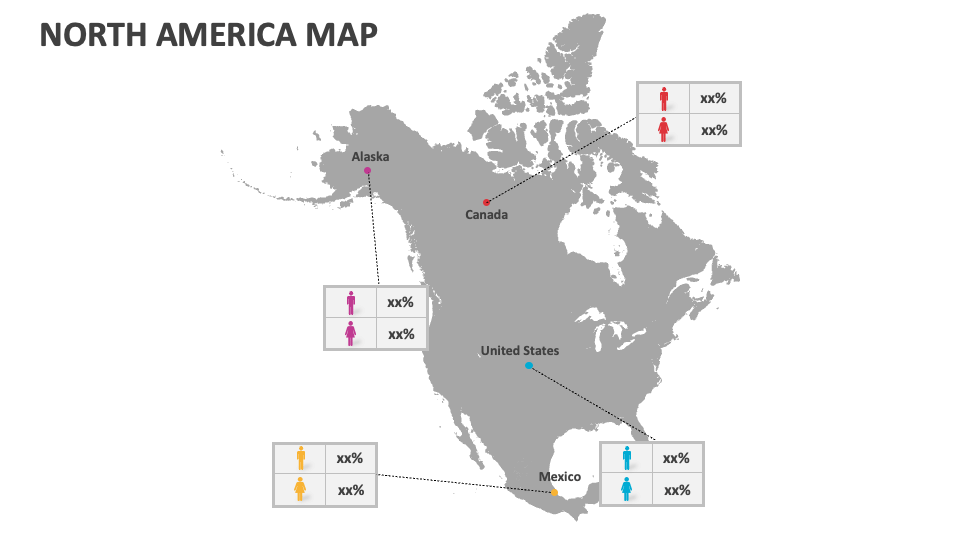
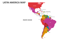
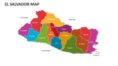
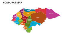
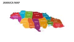
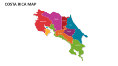
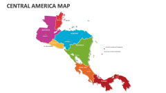
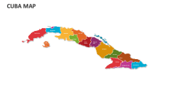
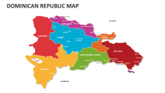
Download our North America Map MS PowerPoint and Google Slides presentation template to showcase market trends, voting districts and electoral boundaries, prominent industries, technology hubs, agricultural zones, locations of famous amusement parks and entertainment venues, and more in North America.
Business owners will find this deck helpful in highlighting areas of high competition and potential opportunities for market penetration. Educators can highlight lesser-known or interesting facts about various North American countries. You can also shed light on the transportation routes connecting different countries in North America. Meteorologists can present information about climatic conditions and weather patterns, disaster management zones, regions on high alert for heavy rain and cyclones, etc.