
The Caribbean map
In stock
$5.00
item details (4 Editable Slides)
- Applications Supported: PowerPoint, Google Slides
- File Type: .pptx, Google Slides
- Aspect Ratio:16:9 (Wide Screen)
- Animation: No
The Caribbean map
The Caribbean map
(4 Editable Slides)
Related Products
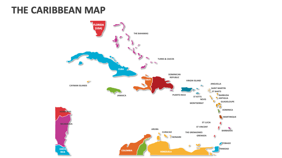
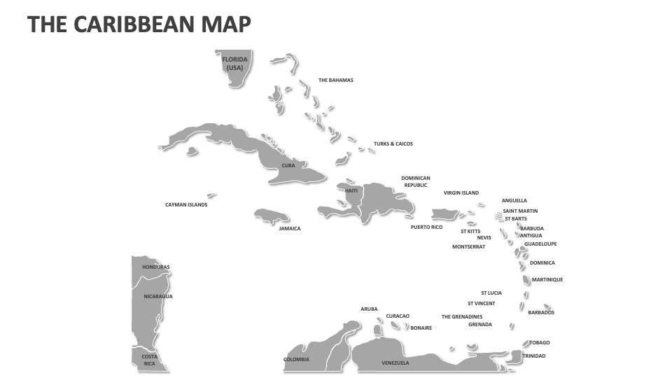
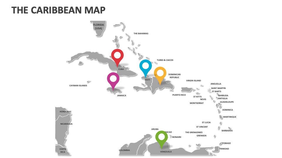
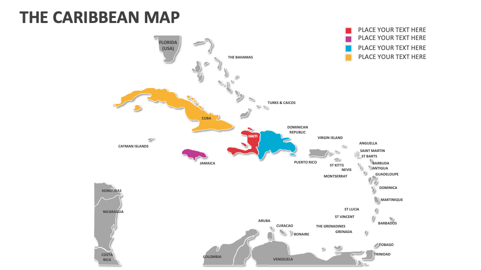
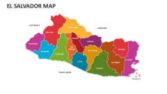
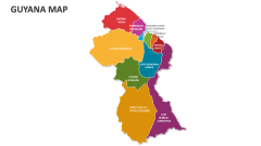
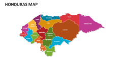
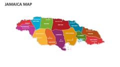
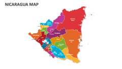
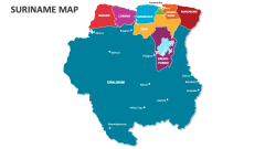
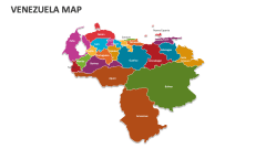
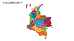
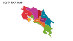
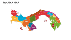
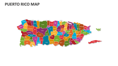
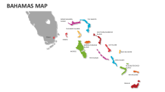
The Caribbean, a subregion of the Americas, comprises the Caribbean Sea, its islands, and the nearby coastal areas. Download our The Caribbean Map MS PowerPoint and Google Slides presentation template to present important details and lesser-known facts about the countries, cities, and islands of this region.
Procurement officers can use these customizable map illustrations to highlight the diverse regions in the Caribbean where raw materials are produced. Educators can explain the cultural, geographical, and political associations of the Bahamas and Turks and Caicos with the Greater Antilles and other Caribbean Islands. Tour and travel professionals will find this deck helpful for showcasing the transportation facilities that connect various Caribbean countries, islands, and cities with each other and the rest of the world.