
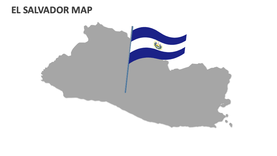
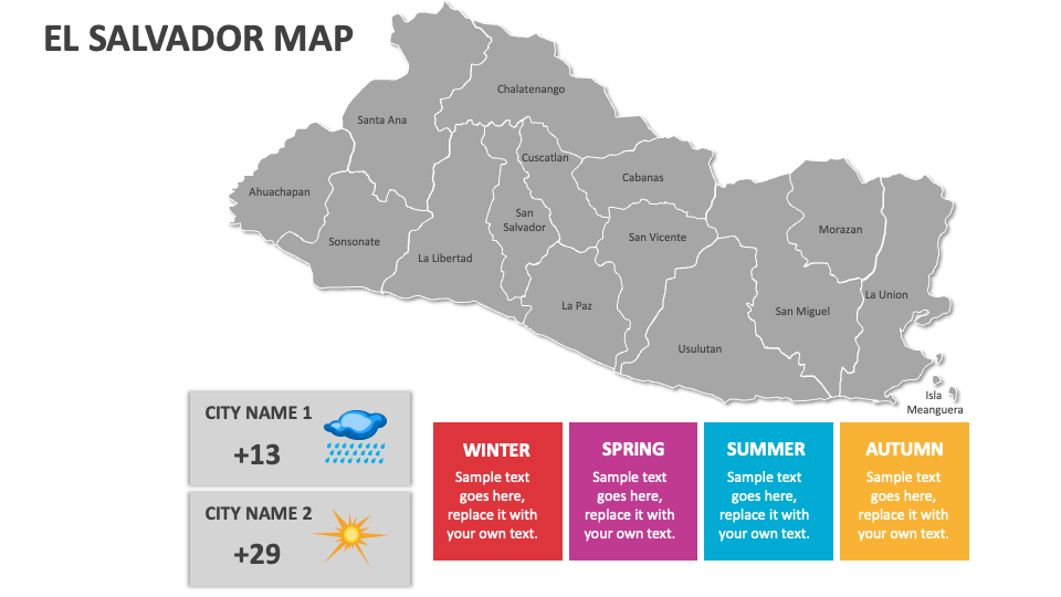
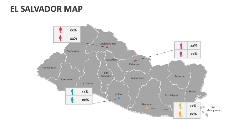
El Salvador Map
In stock
$5.00
item details (10 Editable Slides)
- Applications Supported: PowerPoint, Google Slides
- File Type: .pptx, Google Slides
- Aspect Ratio:16:9 (Wide Screen)
- Animation: No
El Salvador Map
El Salvador Map
(10 Editable Slides)
Related Products

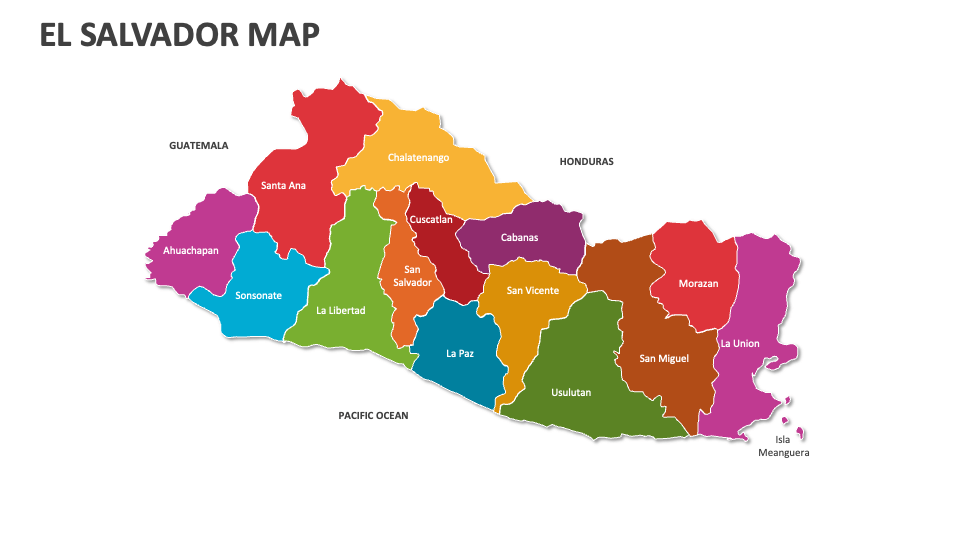
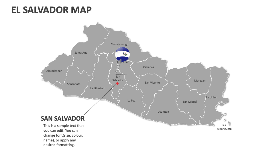
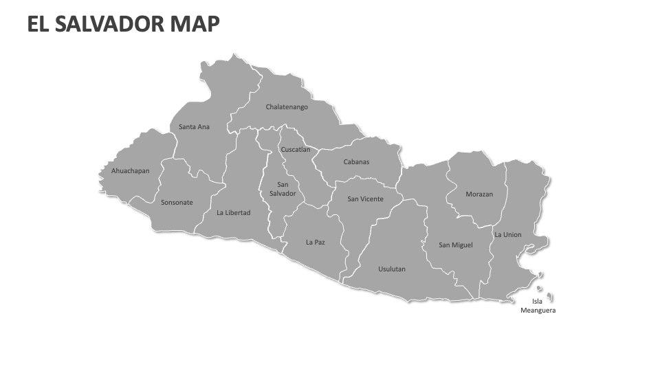
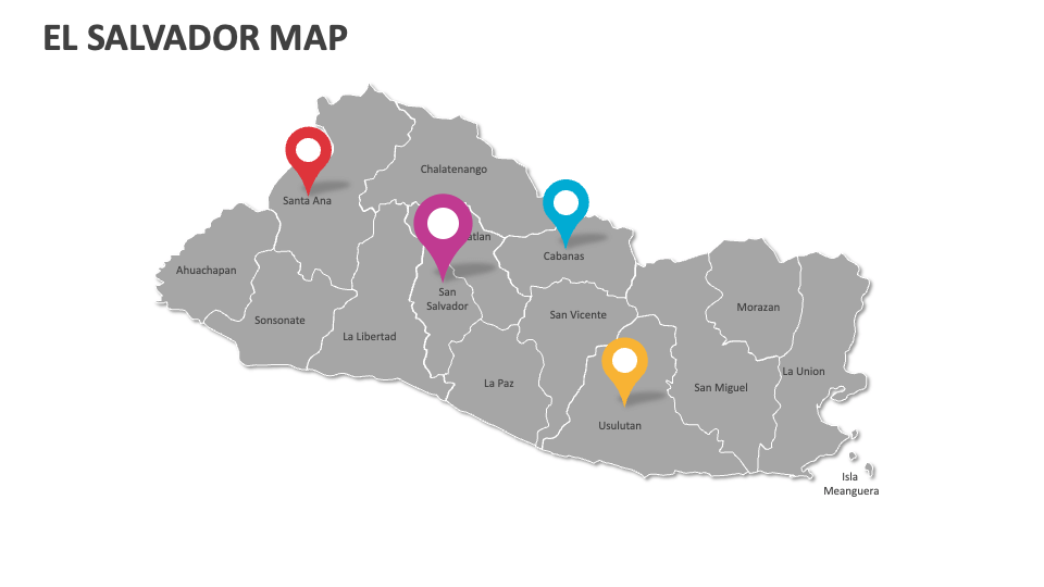
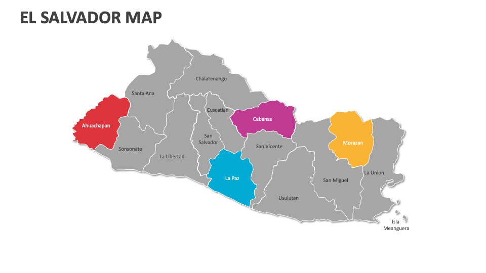
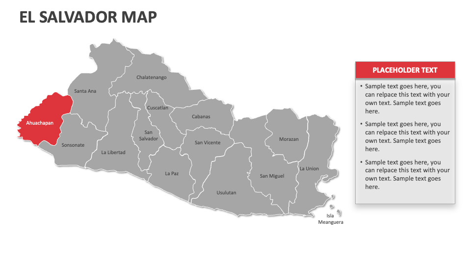
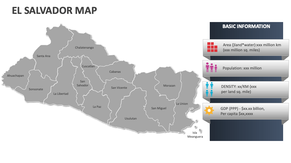
Get our El Salvador Map MS PowerPoint and Google Slides presentation template to showcase information about this Central American country's geographical landscape, famous cities, transportation networks/hubs, etc. The slides come with high-resolution map illustrations and will quickly attract the audience’s attention.
Sales and marketing heads can use this deck to highlight target consumer segments and their locations, as well as sales data and performance metrics of business units across different El Salvador regions. Travel agents can illustrate the popular sightseeing attractions in the country and what makes them unique. You can shed light on the locations of electoral districts and governance structures in this Central American nation. Educators can present information about the population density and demographic distribution across various cities in this country.