
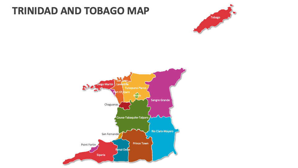
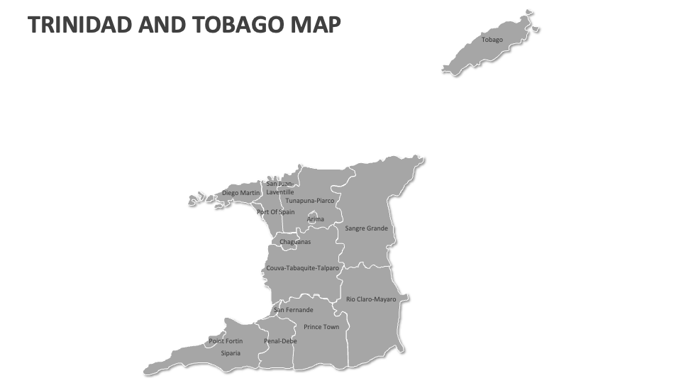
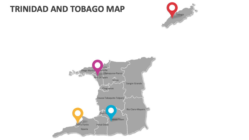
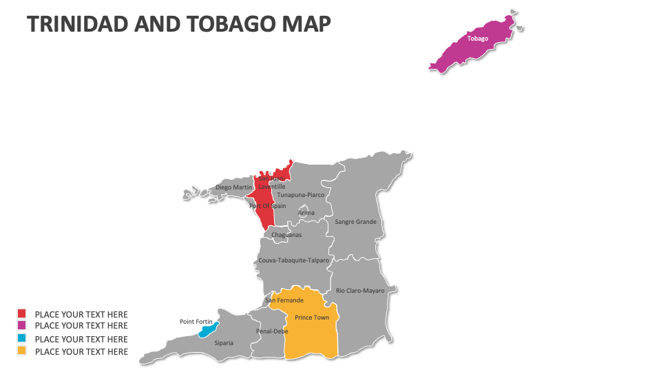
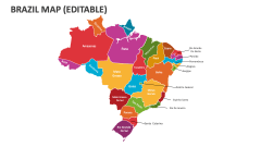
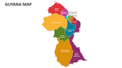
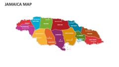
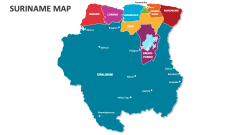
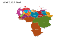
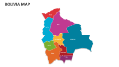
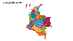
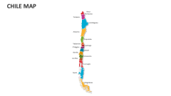
Trinidad and Tobago Map
In stock
$5.00
item details (9 Editable Slides)
- Applications Supported: PowerPoint, Google Slides
- File Type: .pptx, Google Slides
- Aspect Ratio:16:9 (Wide Screen)
- Animation: No
Trinidad and Tobago Map
Trinidad and Tobago Map
(9 Editable Slides)

Related Products
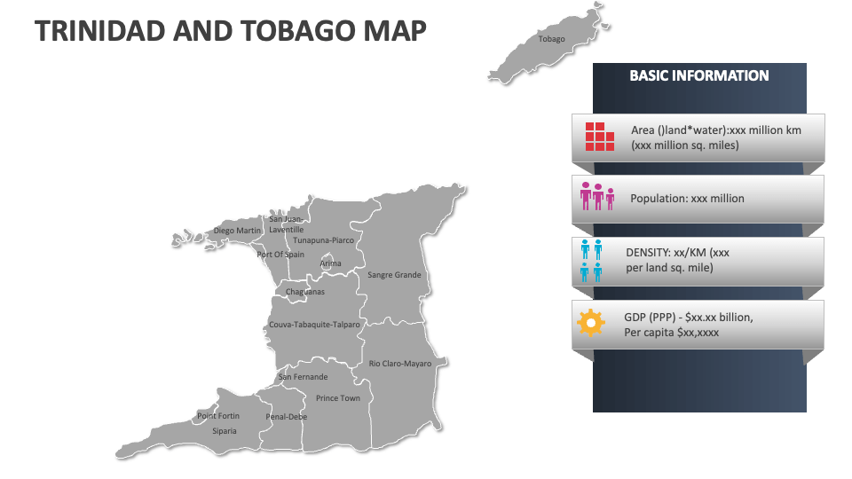
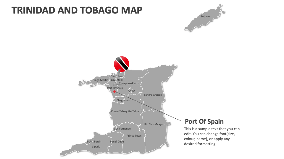
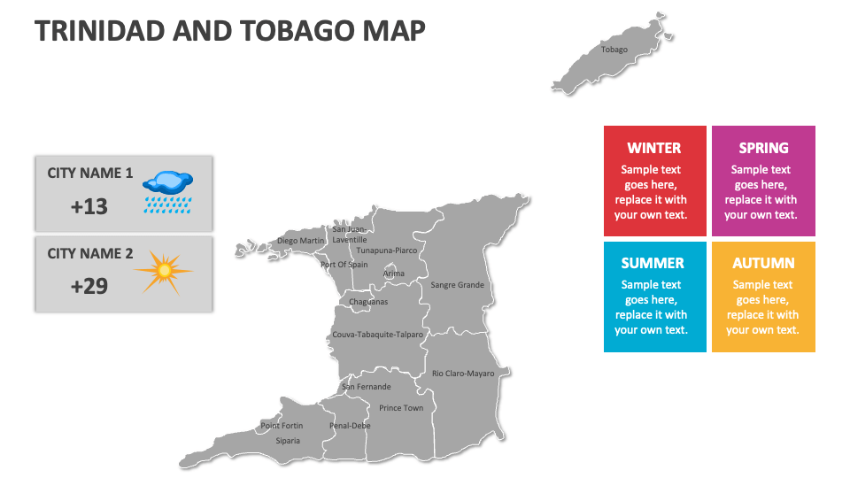
Download our Trinidad and Tobago Map MS PowerPoint and Google Slides presentation template to depict Trinidad and Tobago’s major tourist attractions, notable geographical features, economic zones, industrial parks, health statistics, key marine and coastal zones, famous/scenic tourist spots, and more.
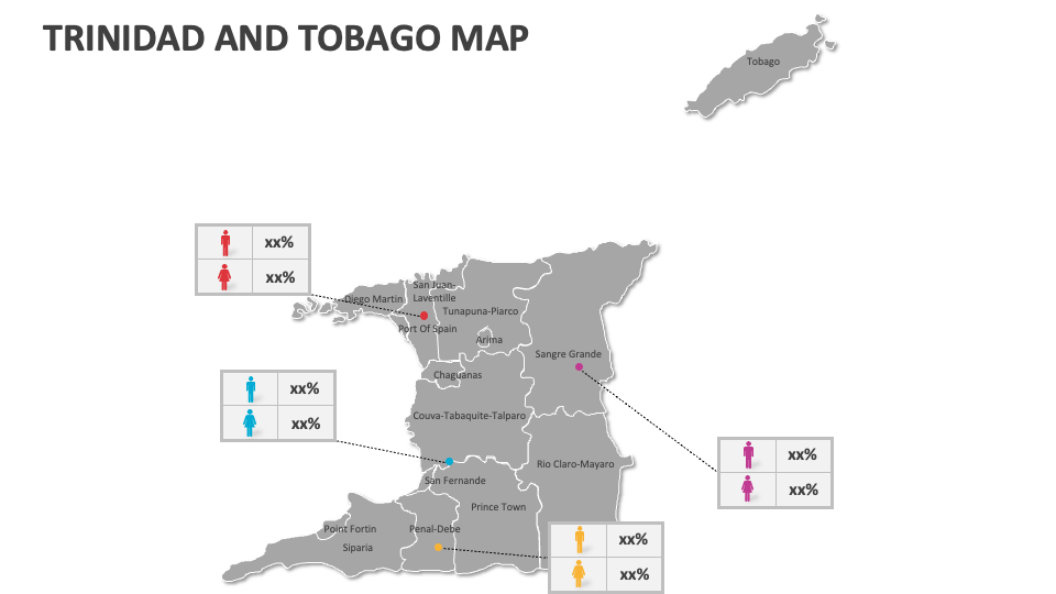
HR heads and talent management experts can highlight the locations of training and development centers and the distribution of employees across various regions in Trinidad and Tobago. Government officials can shed light on the administrative divisions, municipalities, and political boundaries of these twin-island Caribbean countries. Educators can visualize the locations of estates and sugar plantations that have historical significance in Trinidad and Tobago.