
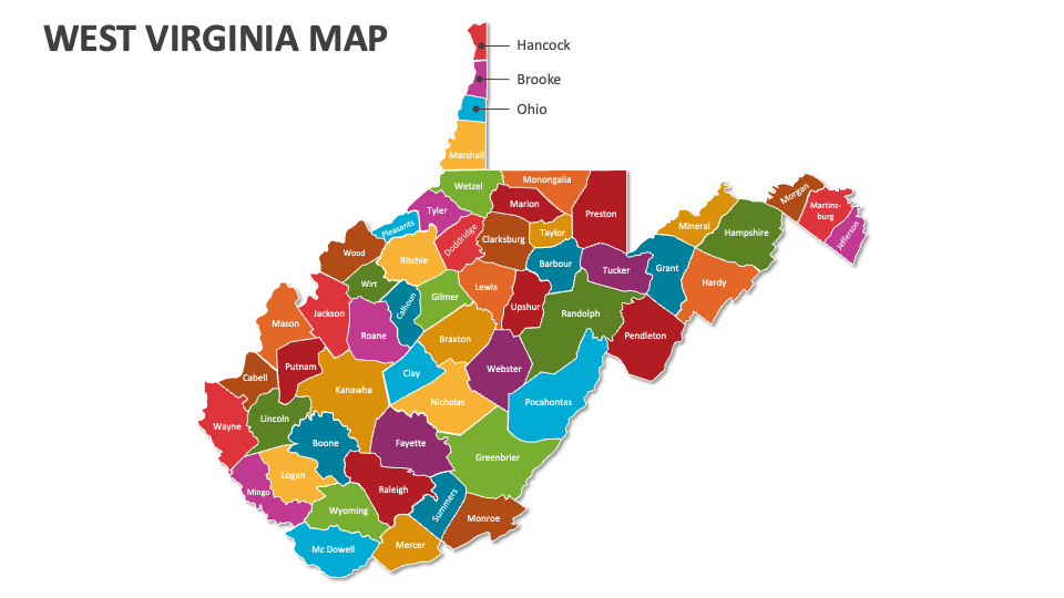
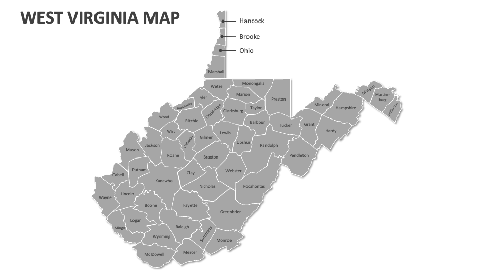
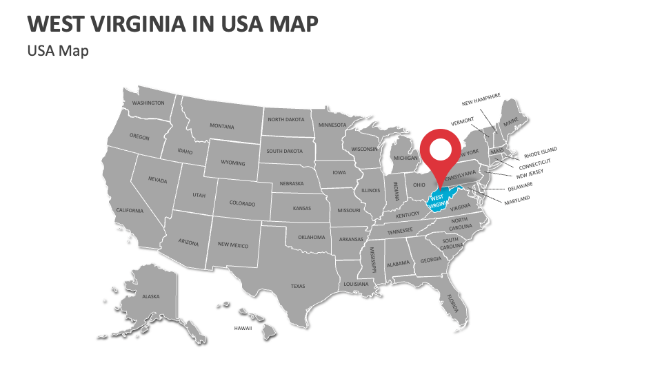
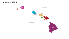
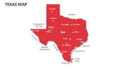
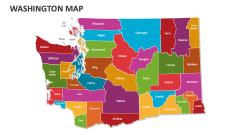
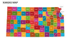
West Virginia Map
In stock
$5.00
item details (3 Editable Slides)
- Applications Supported: PowerPoint, Google Slides
- File Type: .pptx, Google Slides
- Aspect Ratio:16:9 (Wide Screen)
- Animation: No
West Virginia Map
West Virginia Map
(3 Editable Slides)
Related Products
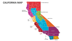
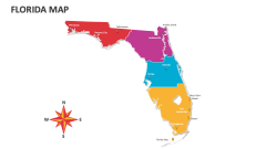
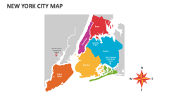
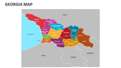
Download our premade West Virginia Map MS PowerPoint and Google Slides presentation template to depict information about West Virginia’s geographic regions, notable historical sites, cultural diversity, valleys and rivers, urban vs. rural population distribution, political boundaries, and more.
Business leaders can utilize this deck to showcase the regions in West Virginia that are ideal for business expansion. Healthcare professionals can visualize the distribution of healthcare facilities in this state, areas with the highest healthcare needs, etc. Government officials can highlight the locations of government offices and administrative buildings, electoral districts, voting patterns, and community engagement levels in multiple areas in this U.S. state.