
Arkansas Map
In stock
$5.00
item details (3 Editable Slides)
- Applications Supported: PowerPoint, Google Slides
- File Type: .pptx, Google Slides
- Aspect Ratio:16:9 (Wide Screen)
- Animation: No
Arkansas Map
Arkansas Map
(3 Editable Slides)
Related Products
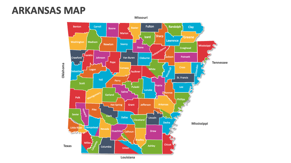
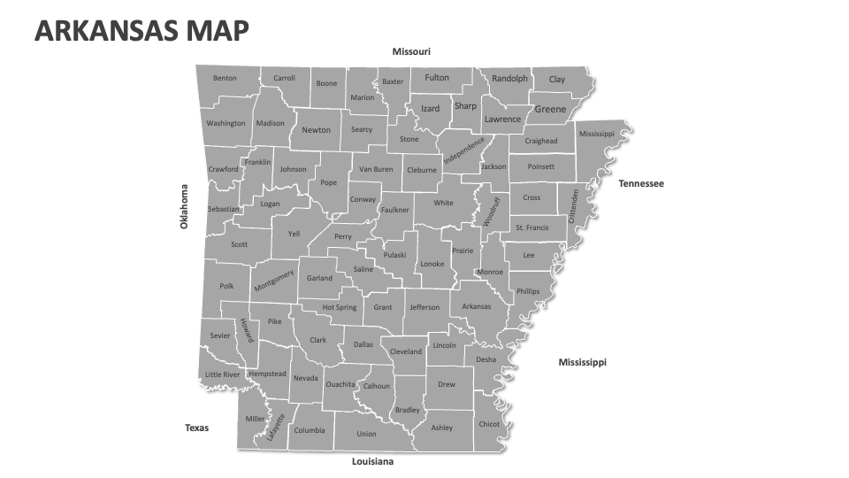
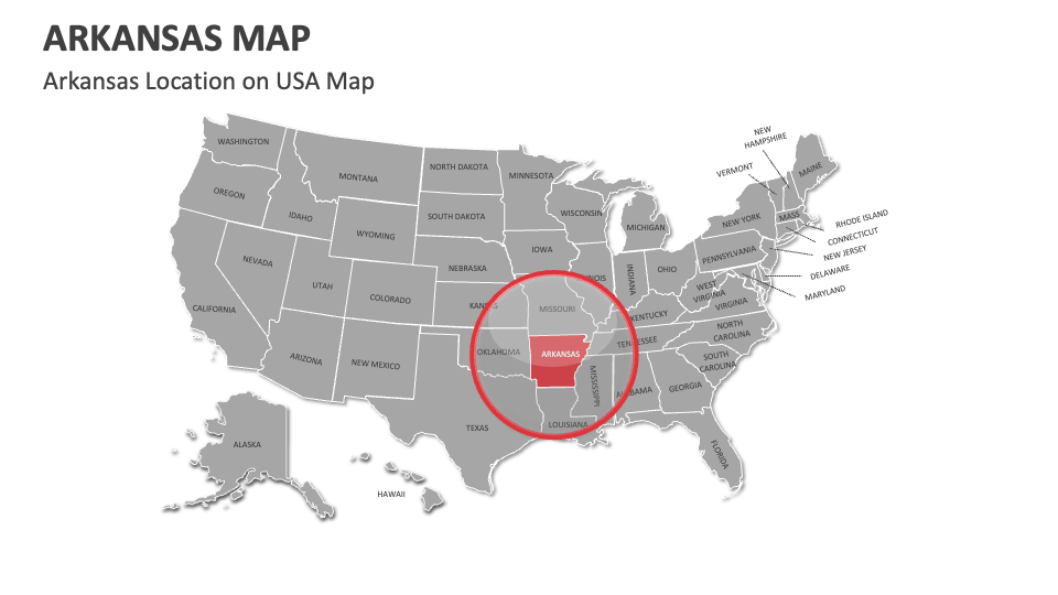
Download our Arkansas Map MS PowerPoint and Google Slides presentation template to showcase regions known for rice production, major educational institutions, transportation routes, historical trade routes, distribution of public services, telecommunications coverage areas, and more in Arkansas.
Business owners and sales executives can use map illustrations to depict the availability of raw materials across various locations and revenue generation from different areas in Arkansas. Educators can highlight the areas significant to Native American history, including sites related to the Quapaw and Osage tribes in Arkansas. Environmentalists can visualize the locations of national forests, wildlife refuges, and conservation areas in this U.S. state.