
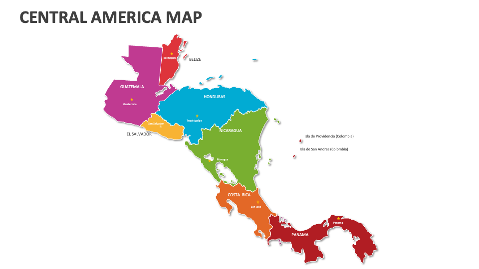
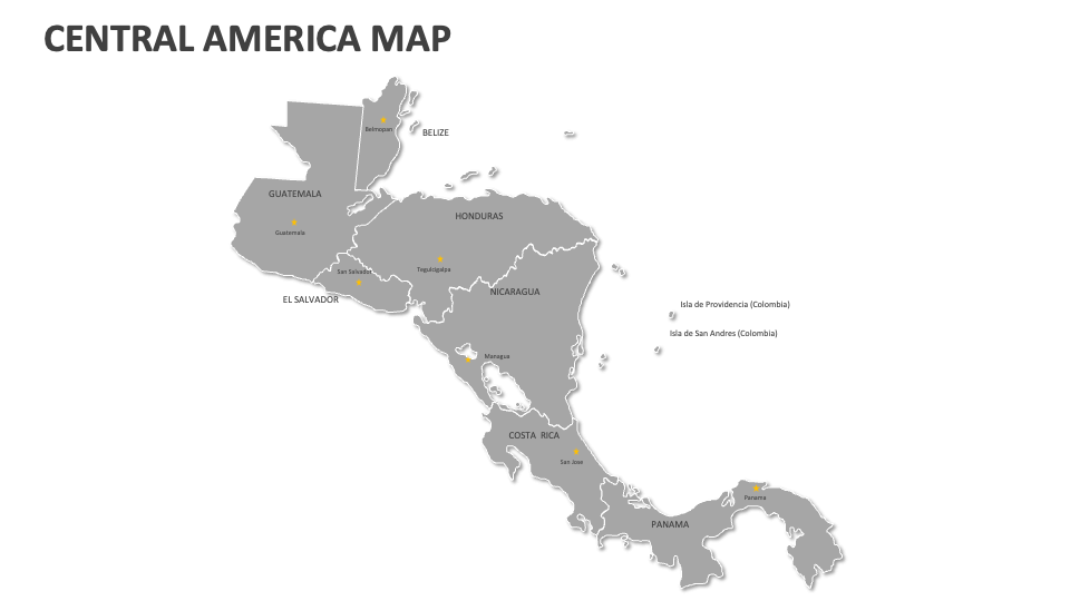
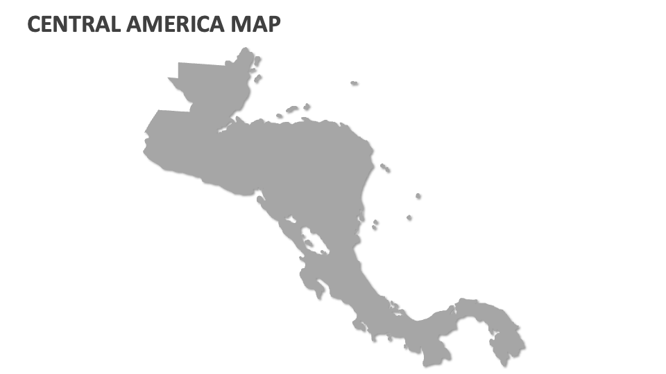
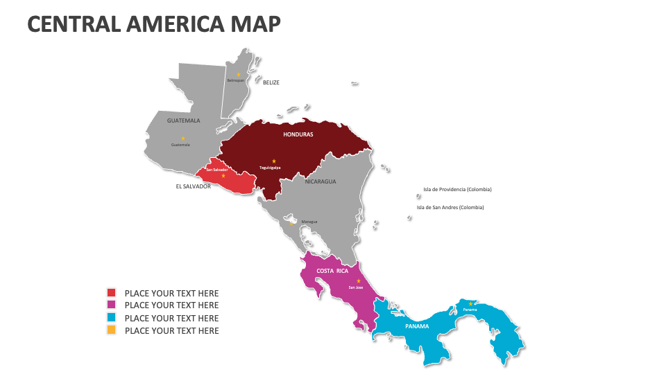
Central America Map
In stock
$5.00
item details (9 Editable Slides)
- Applications Supported: PowerPoint, Google Slides
- File Type: .pptx, Google Slides
- Aspect Ratio:16:9 (Wide Screen)
- Animation: No
Central America Map
Central America Map
(9 Editable Slides)

Related Products
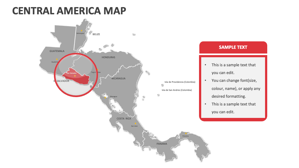
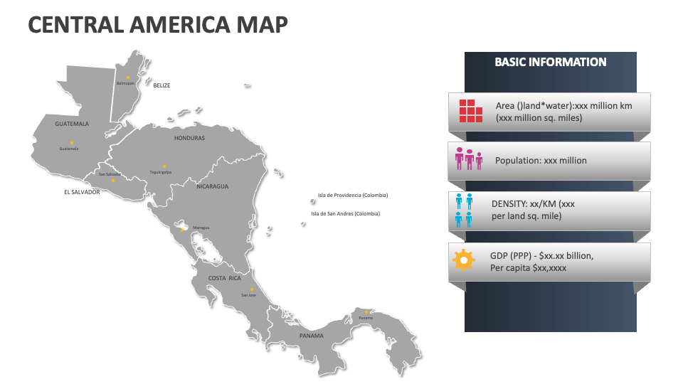
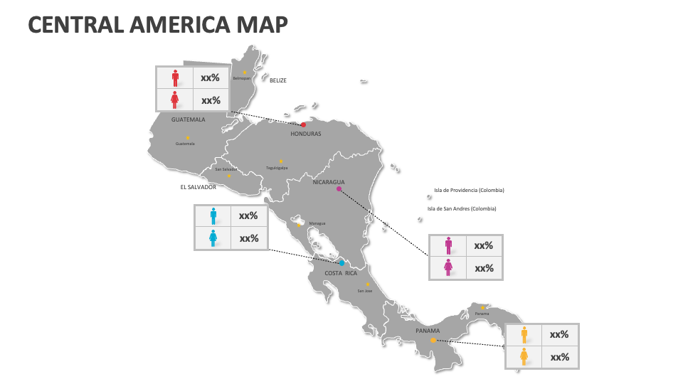
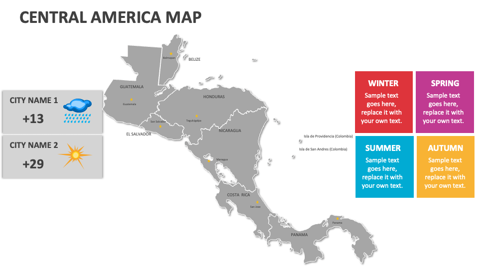
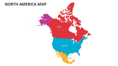
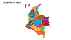
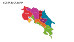
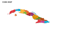
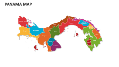
Our Central America Map MS PowerPoint and Google Slides presentation template will help you showcase the locations of famous amusement parks and entertainment venues, voting districts and electoral boundaries, and demographic trends across regions in Central America. Download this deck now!
Business owners can use this deck to highlight the current locations of their business units or headquarters in Central America and the regions where they aim to expand or grow their business. Researchers and scientists can shed light on the operation areas for major infrastructure projects. Reporters and police officials can also depict crime statistics in a particular Central American country. You can also illustrate the transportation routes connecting different nations in Central America.