
Indiana Map
In stock
$5.00
item details (5 Editable Slides)
- Applications Supported: PowerPoint, Google Slides
- File Type: .pptx, Google Slides
- Aspect Ratio:16:9 (Wide Screen)
- Animation: No
Indiana Map
Indiana Map
(5 Editable Slides)

Related Products

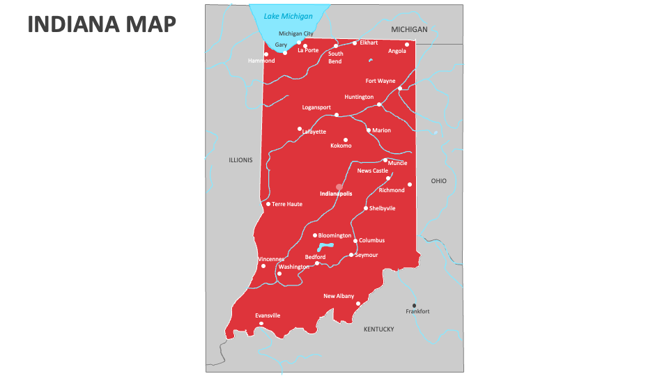
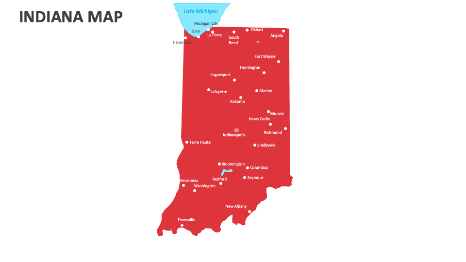
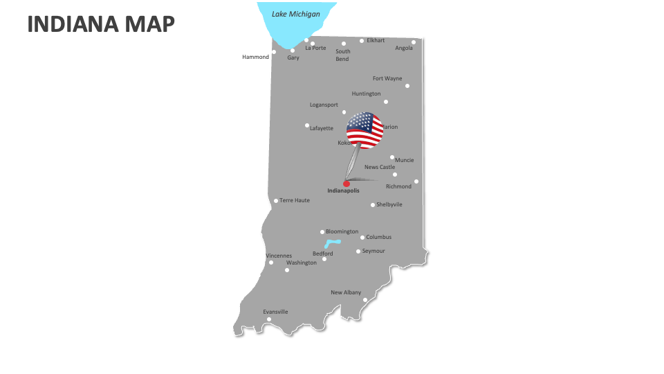
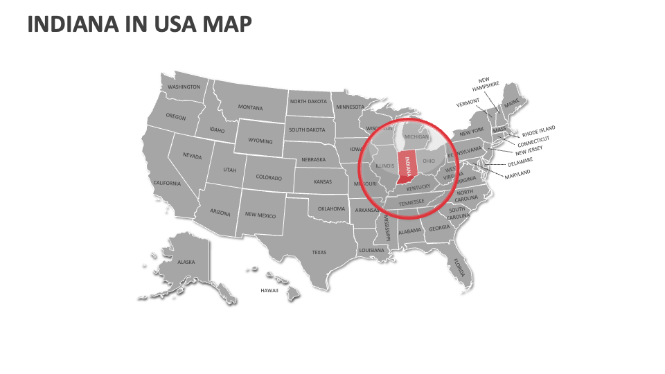
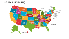
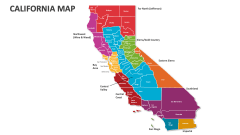
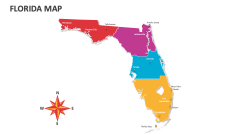
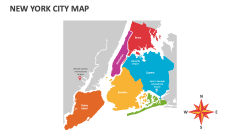
Our Indiana Map MS PowerPoint and Google Slides presentation template is an ideal visual resource for showcasing the agricultural zones and crop distributions, demographic trends, historical and current trade routes, heritage trails and historic monuments/landmarks, and more in Indiana. Download the deck now!
HR heads and talent management experts can showcase the locations of training and development centers, regional differences in employee benefits and incentives, and more. Retail managers and business heads can visualize the potential areas ideal for establishing retail stores, distribution centers, and new outlets. Meteorologists can shed light on the climate zones and weather-related natural disasters in this U.S. state.