
Oregon Map
In stock
$5.00
item details (3 Editable Slides)
- Applications Supported: PowerPoint, Google Slides
- File Type: .pptx, Google Slides
- Aspect Ratio:16:9 (Wide Screen)
- Animation: No
Oregon Map
Oregon Map
(3 Editable Slides)
Related Products
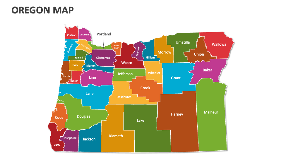
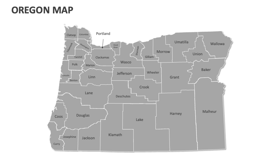
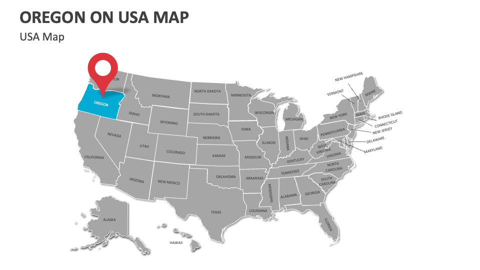
Grab our Oregon Map presentation template to highlight the diverse geographical landscapes, renowned wine-producing regions, key economic centers, significant wildlife habitats, popular tourist destinations, and more in Oregon. The deck is fully compatible with MS PowerPoint and Google Slides!
Sales and marketing heads can visualize consumer behavior and purchasing power in various areas of Oregon. Meteorologists can illustrate this U.S. state’s climatic conditions, precipitation patterns, and average temperature. Educators and agriculturists can visualize the primary agricultural regions known for the cultivation of hazelnuts, hops, and berries. Environmentalists can use these map illustrations to showcase the areas in this state that are affected by wildfires, drought, and deforestation.