
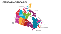
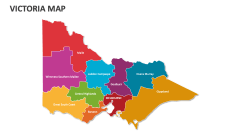
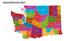
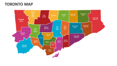
Quebec Map
In stock
$5.00
item details (4 Editable Slides)
- Applications Supported: PowerPoint, Google Slides
- File Type: .pptx, Google Slides
- Aspect Ratio:16:9 (Wide Screen)
- Animation: No
Quebec Map
Quebec Map
(4 Editable Slides)
Related Products

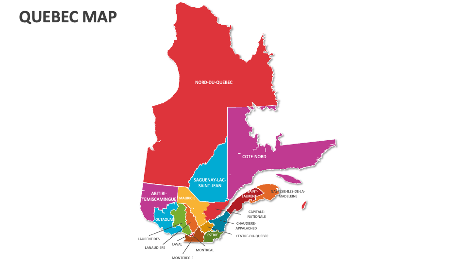
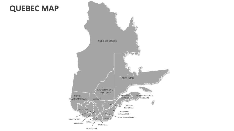
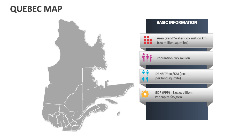
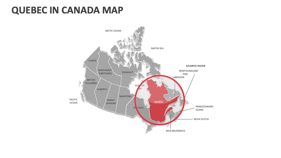
Lay your hands on our Quebec Map MS PowerPoint and Google Slides presentation template to present information about the top industries, famous sightseeing attractions, areas famous for maple syrup production, major transportation routes, notable vineyards and cideries, and more in Quebec.
Technology experts can visualize the locations of major multinational corporations and zones dedicated to technological development in this city. Educators can leverage these fabulous map illustrations to share details about Quebec’s four geographic regions the Canadian Shield, the Appalachian Mountains, the St. Lawrence Lowlands, and the Ungava Peninsula. You can also highlight the locations of key hydroelectric power plants in this Canadian province.