
Toronto Map
In stock
$5.00
item details (2 Editable Slides)
- Applications Supported: PowerPoint, Google Slides
- File Type: .pptx, Google Slides
- Aspect Ratio:16:9 (Wide Screen)
- Animation: No
Toronto Map
Toronto Map
(2 Editable Slides)
Related Products
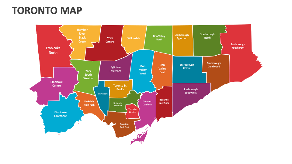
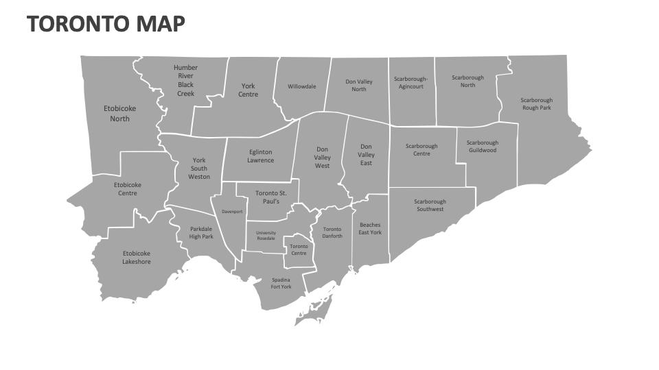
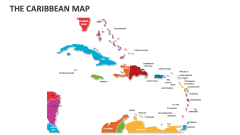
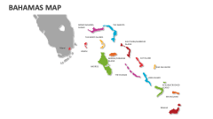
Download our Toronto Map MS PowerPoint and Google Slides presentation template to highlight Toronto’s total land area, international borders, administrative regions, socio-economic issues, locations of historical events, regions dedicated to environmental conservation, and more.
Business leaders and consults can use this deck to visualize the locations of major business areas like the Financial District, Bay Street Corridor, etc., in Toronto. Industrial experts can showcase the distribution of business parks and tech clusters across this city. Educators can illustrate the population distribution, density, and demographic trends across different neighborhoods in this Canadian city. You can also use these map illustrations to present information about the Toronto Transit Commission (TTC) network, including subway lines, streetcars, and bus routes.