
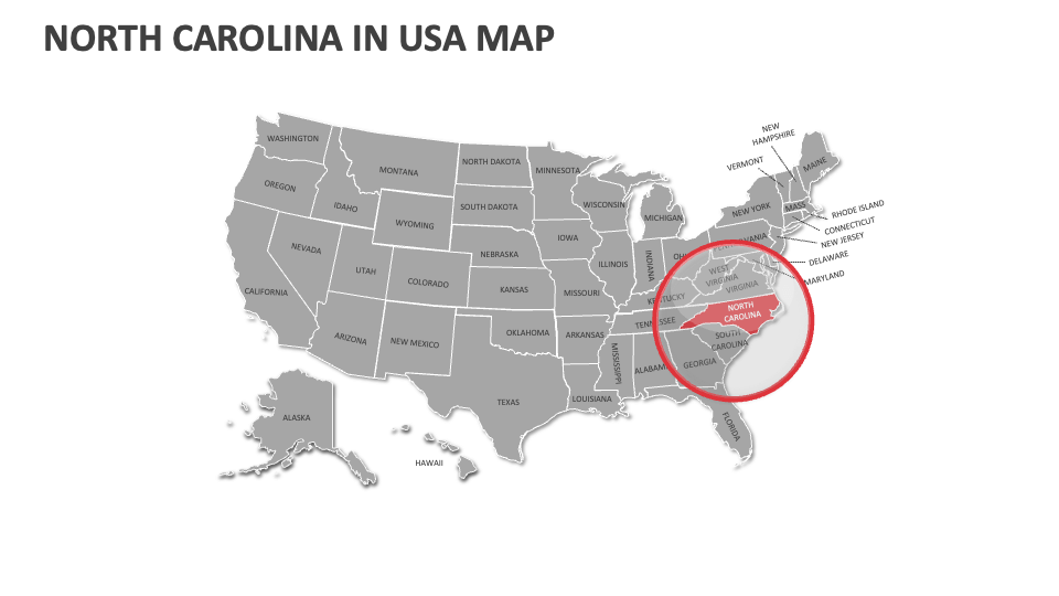
North Carolina Map
In stock
$5.00
item details (5 Editable Slides)
- Applications Supported: PowerPoint, Google Slides
- File Type: .pptx, Google Slides
- Aspect Ratio:16:9 (Wide Screen)
- Animation: No
North Carolina Map
North Carolina Map
(5 Editable Slides)
Related Products

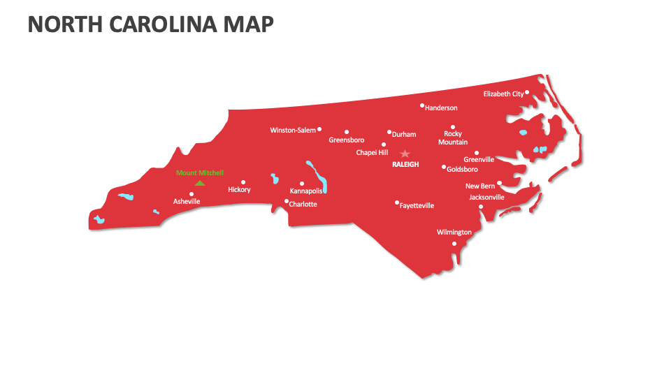
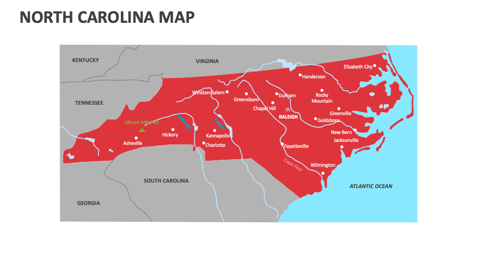
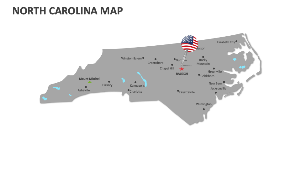
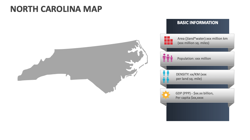
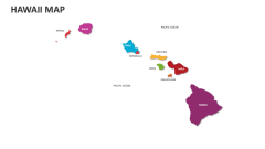
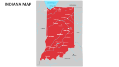
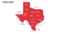
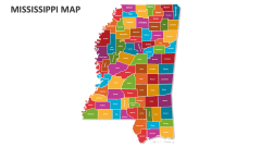
Download our North Carolina Map MS PowerPoint and Google Slides presentation template to showcase all important information about North Carolina, such as major historical sites, the average temperature and weather patterns, transportation routes and networks, agricultural zones, crop distribution, economic indicators by region, etc.
Business leaders and consultants can include these slides in their presentations to depict legal regulations necessary for conducting business operations in North Carolina. Financial heads can showcase information about investment opportunities by region, the locations of major banks, financial institutions, investment firms, etc., in this U.S. state. Educators can include these slides in their presentations to visualize population distribution across the state, major geographical features, and more.