
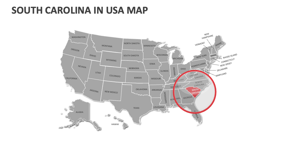
South Carolina Map
In stock
$5.00
item details (5 Editable Slides)
- Applications Supported: PowerPoint, Google Slides
- File Type: .pptx, Google Slides
- Aspect Ratio:16:9 (Wide Screen)
- Animation: No
South Carolina Map
South Carolina Map
(5 Editable Slides)
Related Products

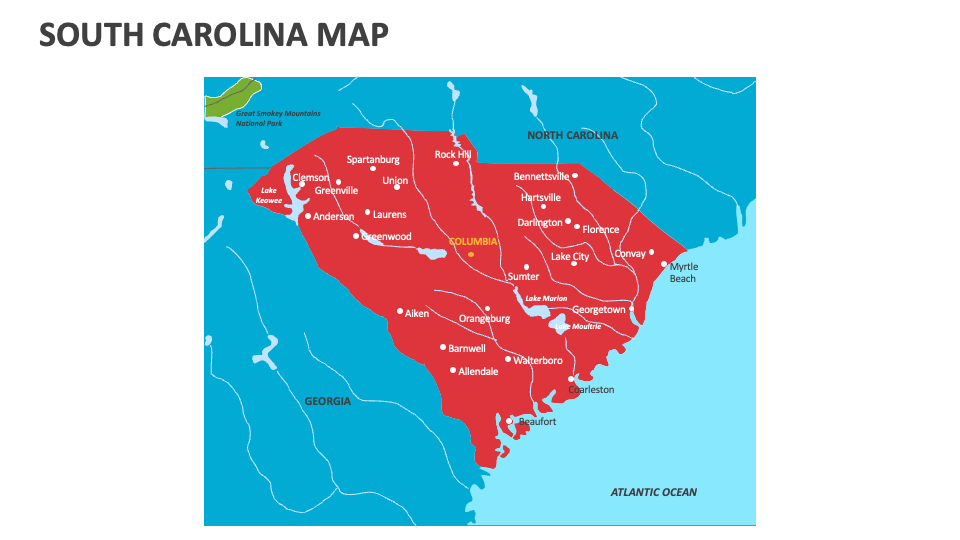
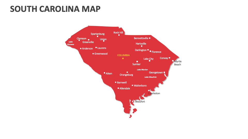
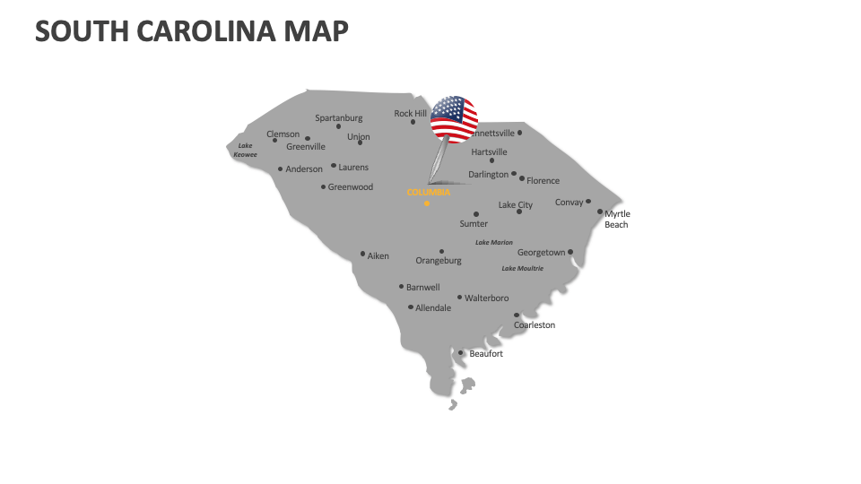
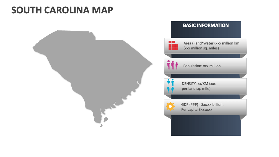
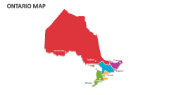
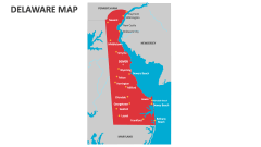
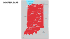
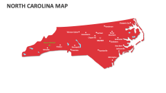
If you wish to present information about significant historical sites and landmarks, gender ratios in major cities, population density, primary geographic regions, lakes, beaches, rivers, and more in a visually stimulating manner, grab our South Carolina Map presentation template now. Available for MS PowerPoint and Google Slides!
Business leaders can highlight the location of the Port of Charleston and other significant ports, as well as their role in trade and contribution to the state's economy. Educators can incorporate these slides into their presentations to showcase the locations of major universities, research centers, and scientific institutions in this U.S. state. You can also visualize information about interstate highways, principal highways, railroads, and major airports in South Carolina.